UN/LOCODE hub · United Kingdom
GBLLU
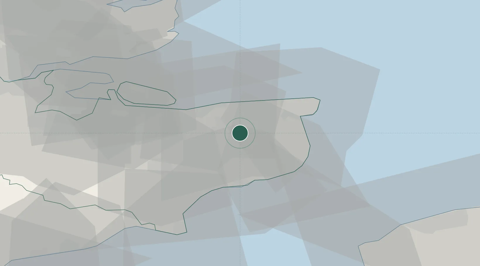
Littlebourne
51.2667°, 1.1667°
1,529
Population
1
Transport functions
Transport Functions
Port
Hub Profile
Place type
Populated place
Region
England
Population
1,529
Time zone
Europe/London
Elevation
14 m
Location
Nearby Logistics Neighbours
Cities
- 1Preston5 km
- 2Aylesham5 km
- 3Chartham Hatch10 km
- 4Richborough12 km
- 5Sandwich13 km
Ports
- 1Whitstable15 km
- 2Ramsgate19 km
- 3Dover Harbor20 km
- 4Folkestone Harbour21 km
- 5Sheerness35 km
Airports
- 1Lydd London Ashford Airport38 km
- 2London Southend Airport47 km
- 3Calais Marck Airport65 km
- 4London Biggin Hill Airport79 km
- 5London City Airport82 km
Trade Zones
DatabookThe Record of Consolidated Knowledge
United Kingdom beyond logistics?