Medium airport · United Kingdom

Lydd London Ashford AirportEGMD
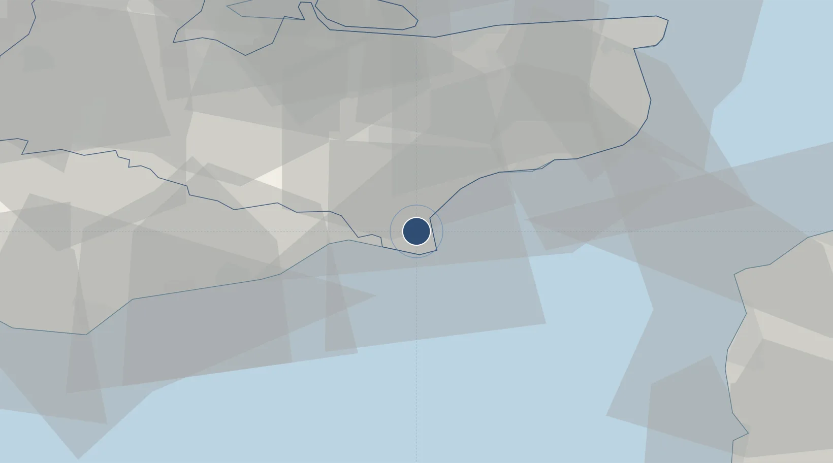
50.9562°, 0.9391°
4,938 ft
Longest runway
1
Runways
13 ft
Elevation

Runway & Layout

Lydd London Ashford Airport runway & taxiway layout
Runway & taxiway layout — OpenStreetMap (ODbL) / OurAirports

Radio Frequencies

ATIS
129.225 MHz
TWR
128.525 MHz
APP
120.7 MHz
Lydd Approach
OurAirports

Navaids

LYD VOR-DME Lydd 114.05 MHz
LYX NDB Lydd 397 kHz
OurAirports

Runways · 1

RunwayDimensions SurfaceTrue headingLit
03/21 4,938 × 105ft Asphalt 033°
OurAirports

Airport Specifications

IATA code
LYX
OurAirports
ICAO code
EGMD
OurAirports
Airport class
Medium airport
OurAirports
Scheduled service
No
OurAirports
Runway surface
Asphalt
OurAirports
Served city
Romney Marsh, Kent
OurAirports

Location

Location of EGMD
Natural Earth 10m (public domain) · Kent · EGMD · 50.96, 0.94GoogleOSMYandex

Nearby Logistics Neighbours

Airports
  1. 1Le Touquet-Côte d'Opale Airport68 km
  2. 2London Southend Airport70 km
  3. 3Calais Marck Airport71 km
  4. 4London Biggin Hill Airport76 km
  5. 5London Gatwick Airport82 km
Nearest neighbours — logibook spatial index (haversine) over the source coordinates
Cities
  1. 1Lydd on Sea3 km
  2. 2New Romney3 km
  3. 3Dungeness5 km
  4. 4Saint Marys Bay7 km
  5. 5Camber11 km
Nearest neighbours — logibook spatial index (haversine) over the source coordinates
Ports
  1. 1Rye Harbour12 km
  2. 2Folkestone Harbour23 km
  3. 3Dover Harbor33 km
  4. 4Whitstable46 km
  5. 5Boulogne-Sur-Mer53 km
Nearest neighbours — logibook spatial index (haversine) over the source coordinates
Trade Zones
  1. 1Discovery Park - Sandwich Enterprise Zone47 km
  2. 2Port of Sheerness Free Zone56 km
  3. 3ZFU Calais63 km
  4. 4Port of Tilbury Free Zone69 km
  5. 5London Royal Docks Enterprise Zone89 km
Nearest neighbours — logibook spatial index (haversine) over the source coordinates
DatabookThe Record of Consolidated Knowledge
United Kingdom beyond logistics?
Browse databook

All Sources

AirportsOurAirports
Public domain
Portsthe NGA World Port Index
Public domain (US gov)
LocationsUN/LOCODE
UN/LOCODE — free
Trade Zonesthe World Bank SEZ database
CC BY 4.0
Trade ZonesOpen Zone Map
CC BY
InfrastructureOpenStreetMap
ODbL 1.0
← United Kingdom airports