UN/LOCODE hub · United Kingdom
GBBCI

Birchington

51.3667°, 1.3000°
2
Transport functions

Transport Functions

Rail
Road
UN/LOCODE

Hub Profile

Region
KEN
GeoNames

Location

Location of GBBCI
Natural Earth 10m (public domain) · KEN · GBBCI · 51.37, 1.30GoogleOSMYandex

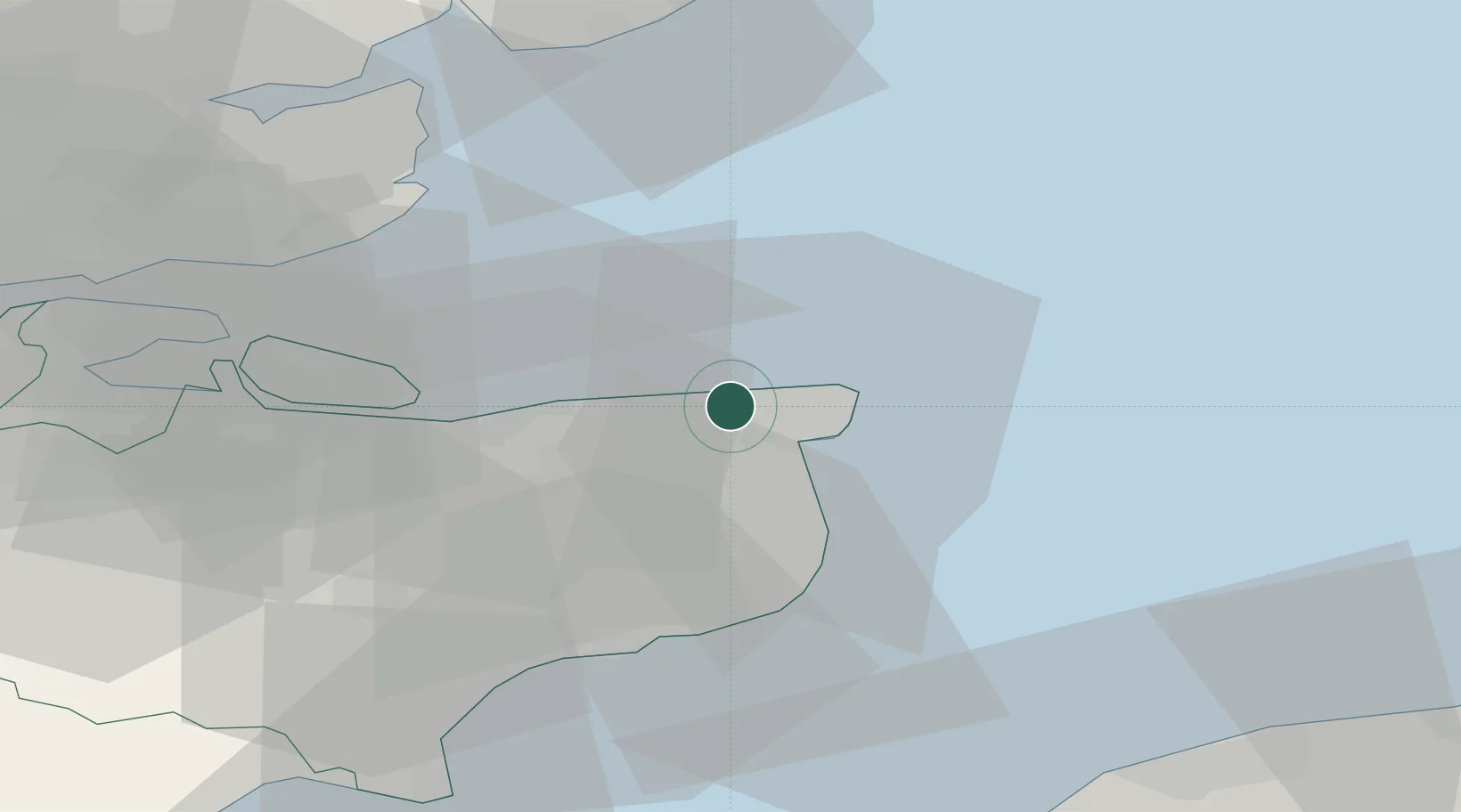
Nearby Logistics Neighbours

Cities
  1. 1Broadstairs8 km
  2. 2Preston9 km
  3. 3Richborough10 km
  4. 4Sandwich12 km
  5. 5Harrietsham13 km
Nearest neighbours — logibook spatial index (haversine) over the source coordinates
Ports
  1. 1Ramsgate9 km
  2. 2Whitstable19 km
  3. 3Dover Harbor28 km
  4. 4Folkestone Harbour32 km
  5. 5Sheerness39 km
Nearest neighbours — logibook spatial index (haversine) over the source coordinates
Airports
  1. 1London Southend Airport48 km
  2. 2Lydd London Ashford Airport52 km
  3. 3Calais Marck Airport64 km
  4. 4London City Airport88 km
  5. 5Wattisham Airfield88 km
Nearest neighbours — logibook spatial index (haversine) over the source coordinates
Trade Zones
  1. 1Discovery Park - Sandwich Enterprise Zone9 km
  2. 2Port of Sheerness Free Zone39 km
  3. 3ZFU Calais59 km
  4. 4Port of Tilbury Free Zone67 km
  5. 5ZFU Saint Pol sur Mer81 km
Nearest neighbours — logibook spatial index (haversine) over the source coordinates
DatabookThe Record of Consolidated Knowledge
United Kingdom beyond logistics?
Browse databook

All Sources

LocationsUN/LOCODE
UN/LOCODE — free
Portsthe NGA World Port Index
Public domain (US gov)
AirportsOurAirports
Public domain
Trade Zonesthe World Bank SEZ database
CC BY 4.0
Trade ZonesOpen Zone Map
CC BY
← United Kingdom locations