Medium airport · United Kingdom

London City AirportEGLC
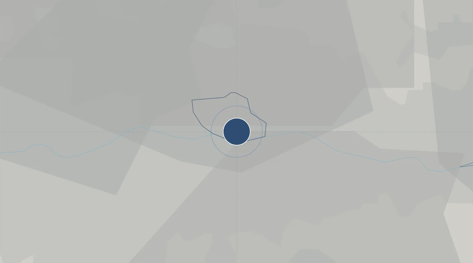
51.5053°, 0.0553°
4,948 ft
Longest runway
1
Runways
19 ft
Elevation

Runway & Layout

London City Airport runway & taxiway layout
Runway & taxiway layout — OpenStreetMap (ODbL) / OurAirports

Radio Frequencies

ATIS
136.35 MHz
TWR
118.075 MHz
GND
121.825 MHz
APP
132.7 MHz
OurAirports

Navaids

LCY NDB City 322 kHz
OurAirports

Runways · 1

RunwayDimensions SurfaceTrue headingLit
09/27 4,948 × 98ft Concrete 093°
OurAirports

Airport Specifications

IATA code
LCY
OurAirports
ICAO code
EGLC
OurAirports
Airport class
Medium airport
OurAirports
Scheduled service
Yes
OurAirports
Runway surface
Concrete
OurAirports
Served city
London
OurAirports

Location

Location of EGLC
Natural Earth 10m (public domain) · Newham · EGLC · 51.51, 0.06GoogleOSMYandex

Nearby Logistics Neighbours

Airports
  1. 1London Biggin Hill Airport20 km
  2. 2RAF Northolt33 km
  3. 3London Heathrow Airport36 km
  4. 4London Gatwick Airport43 km
  5. 5London Stansted Airport44 km
Nearest neighbours — logibook spatial index (haversine) over the source coordinates
Cities
  1. 1Silvertown2 km
  2. 2Plumstead3 km
  3. 3Barking/London4 km
  4. 4Dagenham5 km
  5. 5Canning Town5 km
Nearest neighbours — logibook spatial index (haversine) over the source coordinates
Ports
  1. 1London10 km
  2. 2Tilbury20 km
  3. 3Gravesend22 km
  4. 4Chatham Docks36 km
  5. 5Isle Of Grain45 km
Nearest neighbours — logibook spatial index (haversine) over the source coordinates
Trade Zones
  1. 1London Royal Docks Enterprise Zone3 km
  2. 2Port of Tilbury Free Zone21 km
  3. 3Harlow Enterprise Zone29 km
  4. 4Port of Sheerness Free Zone49 km
  5. 5Enviro-Tech Hertfordshire Enterprise Zone56 km
Nearest neighbours — logibook spatial index (haversine) over the source coordinates
DatabookThe Record of Consolidated Knowledge
United Kingdom beyond logistics?
Browse databook

All Sources

AirportsOurAirports
Public domain
Portsthe NGA World Port Index
Public domain (US gov)
LocationsUN/LOCODE
UN/LOCODE — free
Trade Zonesthe World Bank SEZ database
CC BY 4.0
Trade ZonesOpen Zone Map
CC BY
InfrastructureOpenStreetMap
ODbL 1.0
← United Kingdom airports