Transport Functions
Road
Multimodal
Hub Profile
Place type
Populated place
Region
England
Time zone
Europe/London
Elevation
15 m
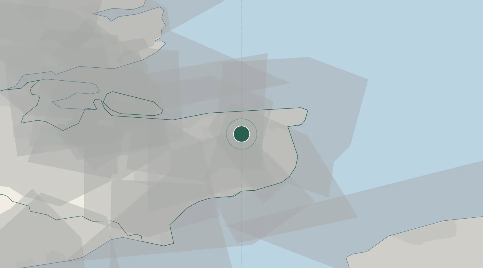
Location
Nearby Logistics Neighbours
Cities
- 1Littlebourne5 km
- 2Richborough8 km
- 3Aylesham9 km
- 4Birchington9 km
- 5Sandwich10 km
Ports
- 1Ramsgate14 km
- 2Whitstable15 km
- 3Dover Harbor22 km
- 4Folkestone Harbour24 km
- 5Sheerness36 km
Airports
- 1Lydd London Ashford Airport43 km
- 2London Southend Airport47 km
- 3Calais Marck Airport64 km
- 4London Biggin Hill Airport82 km
- 5London City Airport84 km
Trade Zones
DatabookThe Record of Consolidated Knowledge
United Kingdom beyond logistics?