Channel & Berth Profile
Pilotage, Tugs & Services
Pilotage compulsoryYES
Pilotage availableYES
Tug assistanceYES
Salvage tugsNO
Potable waterYES
Diesel bunkersYES
MedicalYES
Garbage disposalYES
Facilities & Capabilities
Container—
Ro-Ro—
Liquid bulk—
Dry bulk—
Oil terminal—
Break bulk—
Dry dockNO
RepairsNO
BunkeringYES
Rail linkYES
Dangerous cargo—
ISPS security—
Harbour Specifications
Harbour size
Small
Harbour type
Coastal (Breakwater)
Shelter
Good
Water body
English Channel; North Atlantic Ocean
Tidal range
5 m
Pilotage
Yes
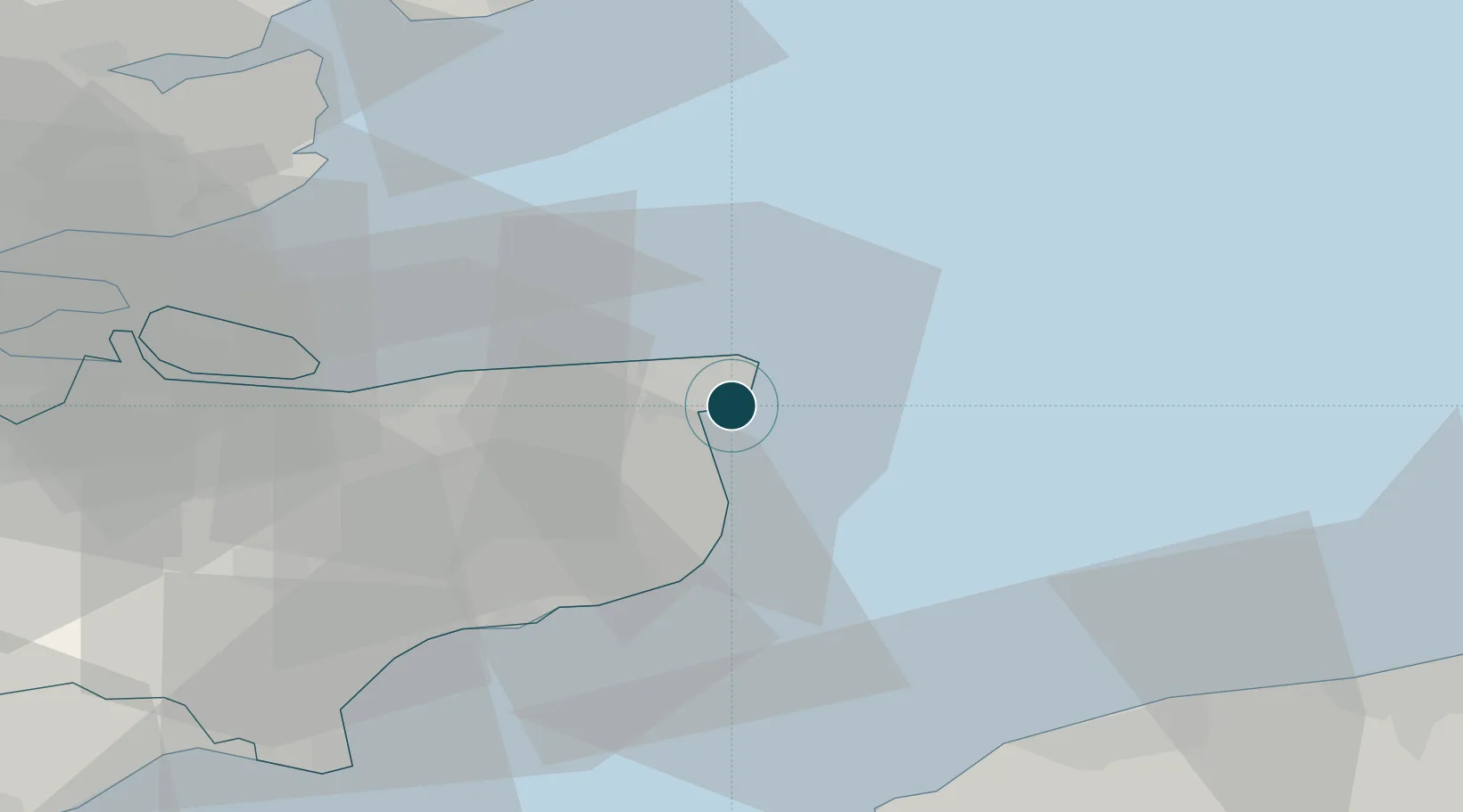
Location
Nearby Logistics Neighbours
Ports
- 1Dover Harbor25 km
- 2Whitstable27 km
- 3Folkestone Harbour32 km
- 4Sheerness48 km
- 5Calais51 km
Cities
- 1Broadstairs4 km
- 2Richborough8 km
- 3Sandwich9 km
- 4Birchington9 km
- 5Preston14 km
Airports
- 1Lydd London Ashford Airport54 km
- 2Calais Marck Airport56 km
- 3London Southend Airport57 km
- 4Koksijde Air Base90 km
- 5Le Touquet-Côte d'Opale Airport92 km
Trade Zones
DatabookThe Record of Consolidated Knowledge
United Kingdom beyond logistics?