Transport Functions
Multimodal
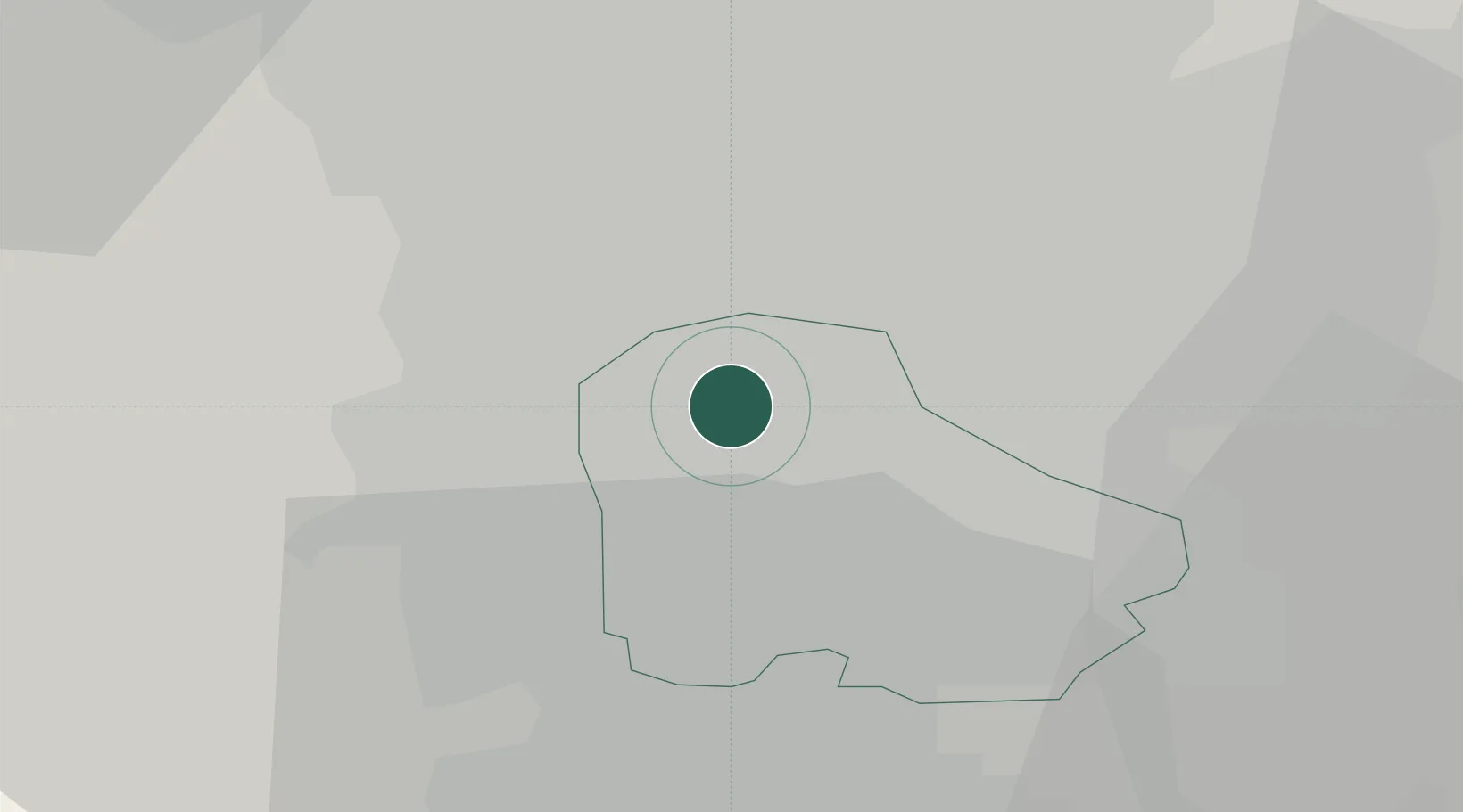
Hub Profile
Place type
Populated place
Region
England
Population
1,563
Time zone
Europe/London
Elevation
36 m
Location
Nearby Logistics Neighbours
Cities
- 1Rotherham4 km
- 2Bramley5 km
- 3Sheffield6 km
- 4Attercliffe8 km
- 5Darnall8 km
Ports
- 1Goole44 km
- 2Howdendyke45 km
- 3Manchester62 km
- 4New Holland70 km
- 5Kingston Upon Hull78 km
Airports
- 1Leeds East Airport46 km
- 2Leeds Bradford Airport53 km
- 3Nottingham City Airport60 km
- 4RAF Waddington62 km
- 5Manchester Airport63 km
DatabookThe Record of Consolidated Knowledge
United Kingdom beyond logistics?