Transport Functions
Multimodal
Hub Profile
Place type
Urban district
Region
England
Time zone
Europe/London
Elevation
55 m
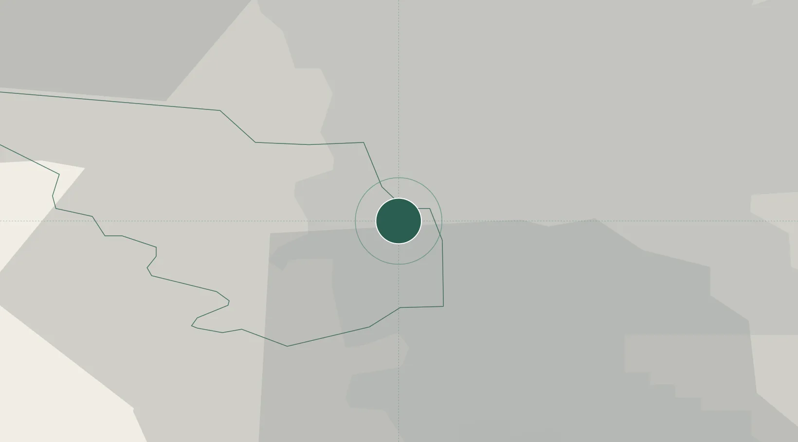
Location
Nearby Logistics Neighbours
Ports
- 1Goole52 km
- 2Howdendyke52 km
- 3Manchester56 km
- 4New Holland78 km
- 5Kingston Upon Hull85 km
Airports
- 1Leeds East Airport51 km
- 2Leeds Bradford Airport54 km
- 3Manchester Airport56 km
- 4Nottingham City Airport58 km
- 5East Midlands Airport64 km
DatabookThe Record of Consolidated Knowledge
United Kingdom beyond logistics?