UN/LOCODE hub · United Kingdom
GBRTH
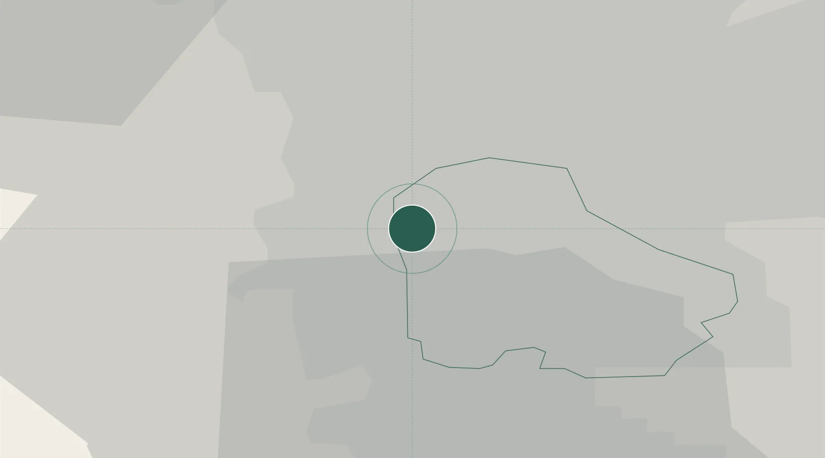
Rotherham
53.4178°, -1.3903°
117,618
Population
1
Transport functions
Transport Functions
Port
Hub Profile
Place type
Provincial seat
Region
England
Population
117,618
Time zone
Europe/London
Elevation
41 m
Logistics facilities
1
Location
Nearby Logistics Neighbours
Cities
- 1Sheffield2 km
- 2Attercliffe4 km
- 3Gotham4 km
- 4Darnall4 km
- 5Grenoside6 km
Ports
- 1Goole48 km
- 2Howdendyke49 km
- 3Manchester59 km
- 4New Holland75 km
- 5Kingston Upon Hull82 km
Airports
- 1Leeds East Airport48 km
- 2Leeds Bradford Airport53 km
- 3Nottingham City Airport59 km
- 4Manchester Airport60 km
- 5RAF Waddington64 km
DatabookThe Record of Consolidated Knowledge
United Kingdom beyond logistics?