Transport Functions
Port
Hub Profile
Place type
Populated place
Region
England
Population
1,207
Time zone
Europe/London
Elevation
12 m
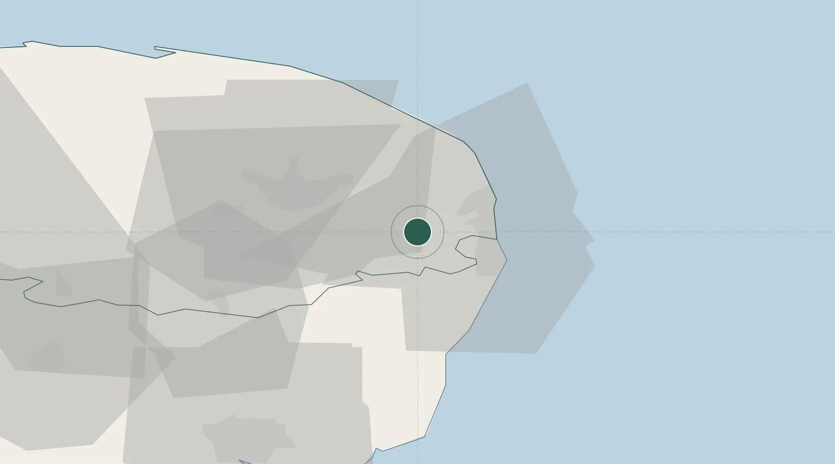
Location
Nearby Logistics Neighbours
Cities
- 1Fressingfield4 km
- 2Cantley6 km
- 3Acle9 km
- 4Oulton Broad14 km
- 5Carlton Colville14 km
Ports
- 1Great Yarmouth14 km
- 2Lowestoft15 km
- 3Ipswich62 km
- 4Felixstowe69 km
- 5Harwich69 km
Airports
- 1Norwich Airport24 km
- 2RAF Honington59 km
- 3Wattisham Airfield63 km
- 4RAF Marham70 km
- 5RAF Lakenheath70 km
Trade Zones
DatabookThe Record of Consolidated Knowledge
United Kingdom beyond logistics?