Transport Functions
Multimodal
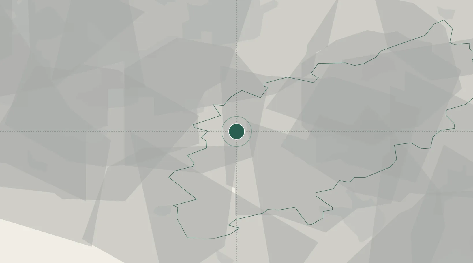
Hub Profile
Place type
Populated place
Region
England
Time zone
Europe/London
Elevation
133 m
Location
Nearby Logistics Neighbours
Cities
- 1Nether Heyford11 km
- 2Dunchurch12 km
- 3Napton on the Hill15 km
- 4Church Lawford16 km
- 5Brackmills19 km
Ports
- 1Wisbech95 km
- 2Boston105 km
- 3London114 km
- 4Sharpness114 km
- 5King's Lynn114 km
Airports
- 1Coventry Airport26 km
- 2Cranfield Airport43 km
- 3Birmingham Airport46 km
- 4London Oxford Airport53 km
- 5RAF Wittering56 km
Trade Zones
DatabookThe Record of Consolidated Knowledge
United Kingdom beyond logistics?