Transport Functions
Port
Rail
Road
Hub Profile
Region
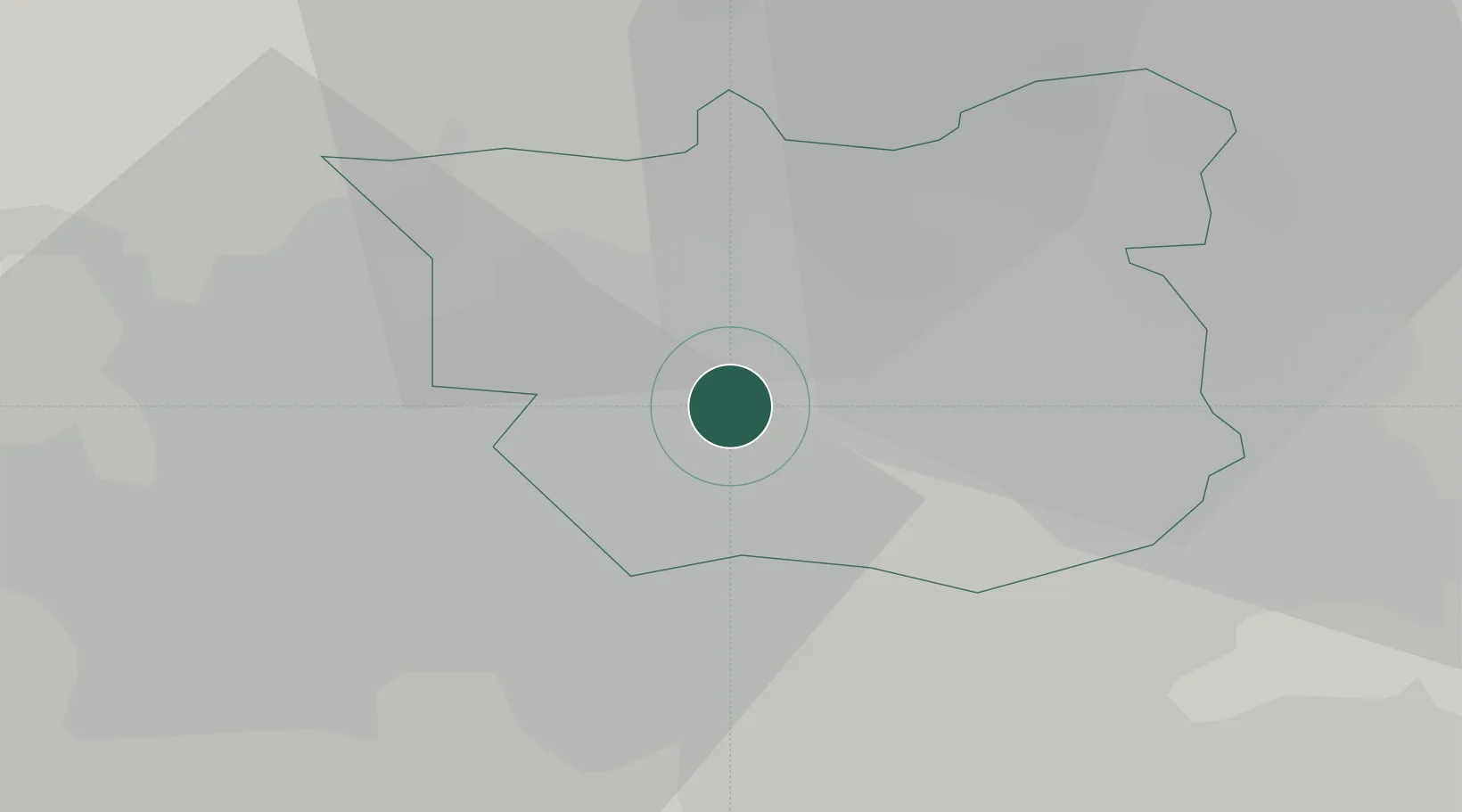
LDS
Location
Nearby Logistics Neighbours
Cities
- 1Leeds2 km
- 2Leeds ICD3 km
- 3Stourton/Leeds3 km
- 4Denaby6 km
- 5Ravenfield7 km
Ports
- 1Howdendyke43 km
- 2Goole47 km
- 3Manchester59 km
- 4New Holland77 km
- 5Kingston Upon Hull82 km
Airports
- 1Leeds Bradford Airport12 km
- 2Leeds East Airport23 km
- 3RAF Topcliffe48 km
- 4RAF Leeming57 km
- 5Manchester Airport69 km
DatabookThe Record of Consolidated Knowledge
United Kingdom beyond logistics?