Transport Functions
Port
Rail
Road
Airport
Hub Profile
Place type
Provincial seat
Region
England
Population
536,280
Time zone
Europe/London
Elevation
50 m
Logistics facilities
3
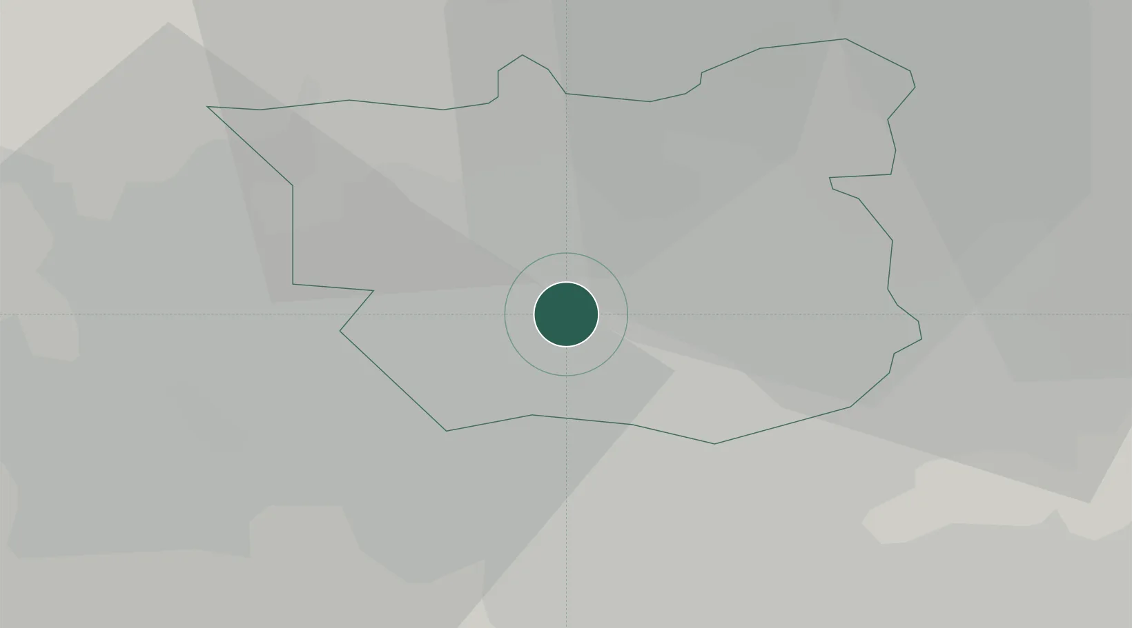
Location
Nearby Logistics Neighbours
Cities
- 1Leeds ICD1 km
- 2Stourton/Leeds1 km
- 3Hunslet/Leeds2 km
- 4Ravenfield5 km
- 5Denaby5 km
Ports
- 1Howdendyke41 km
- 2Goole45 km
- 3Manchester60 km
- 4New Holland75 km
- 5Kingston Upon Hull81 km
Airports
- 1Leeds Bradford Airport14 km
- 2Leeds East Airport22 km
- 3RAF Topcliffe49 km
- 4RAF Leeming58 km
- 5Manchester Airport70 km
DatabookThe Record of Consolidated Knowledge
United Kingdom beyond logistics?