Transport Functions
Rail
Road
Hub Profile
Place type
Populated place
Region
England
Population
543
Time zone
Europe/London
Elevation
14 m
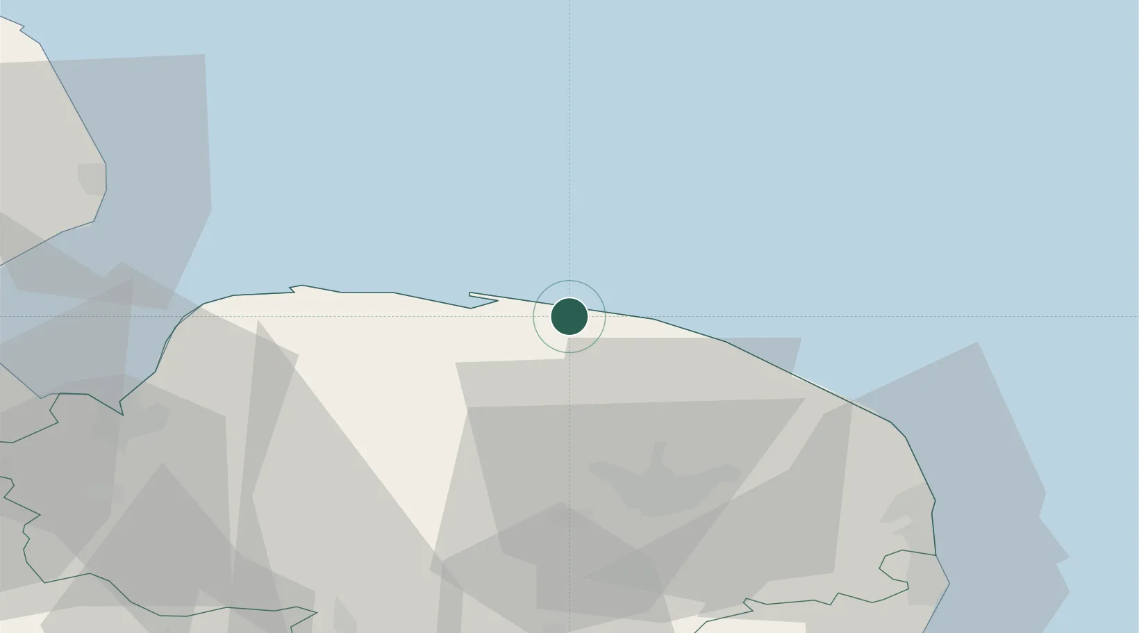
Location
Nearby Logistics Neighbours
Cities
- 1Salthouse2 km
- 2Sheringham5 km
- 3Holt5 km
- 4Blakeney8 km
- 5Felbrigg10 km
Ports
- 1King's Lynn53 km
- 2Great Yarmouth54 km
- 3Lowestoft65 km
- 4Wisbech73 km
- 5Boston77 km
Airports
- 1Norwich Airport30 km
- 2RAF Marham50 km
- 3RAF Lakenheath70 km
- 4RAF Honington70 km
- 5RAF Mildenhall77 km
Trade Zones
- 1New Anglia Enterprise Zone88 km
- 2Cambridge Compass Enterprise Zone97 km
- 3Alconbury Weald Enterprise Zone112 km
- 4Humber Enterprise Zone132 km
- 5Humberside Free Zone135 km
DatabookThe Record of Consolidated Knowledge
United Kingdom beyond logistics?