Transport Functions
Port
Hub Profile
Place type
Populated place
Region
England
Population
201
Time zone
Europe/London
Elevation
7 m
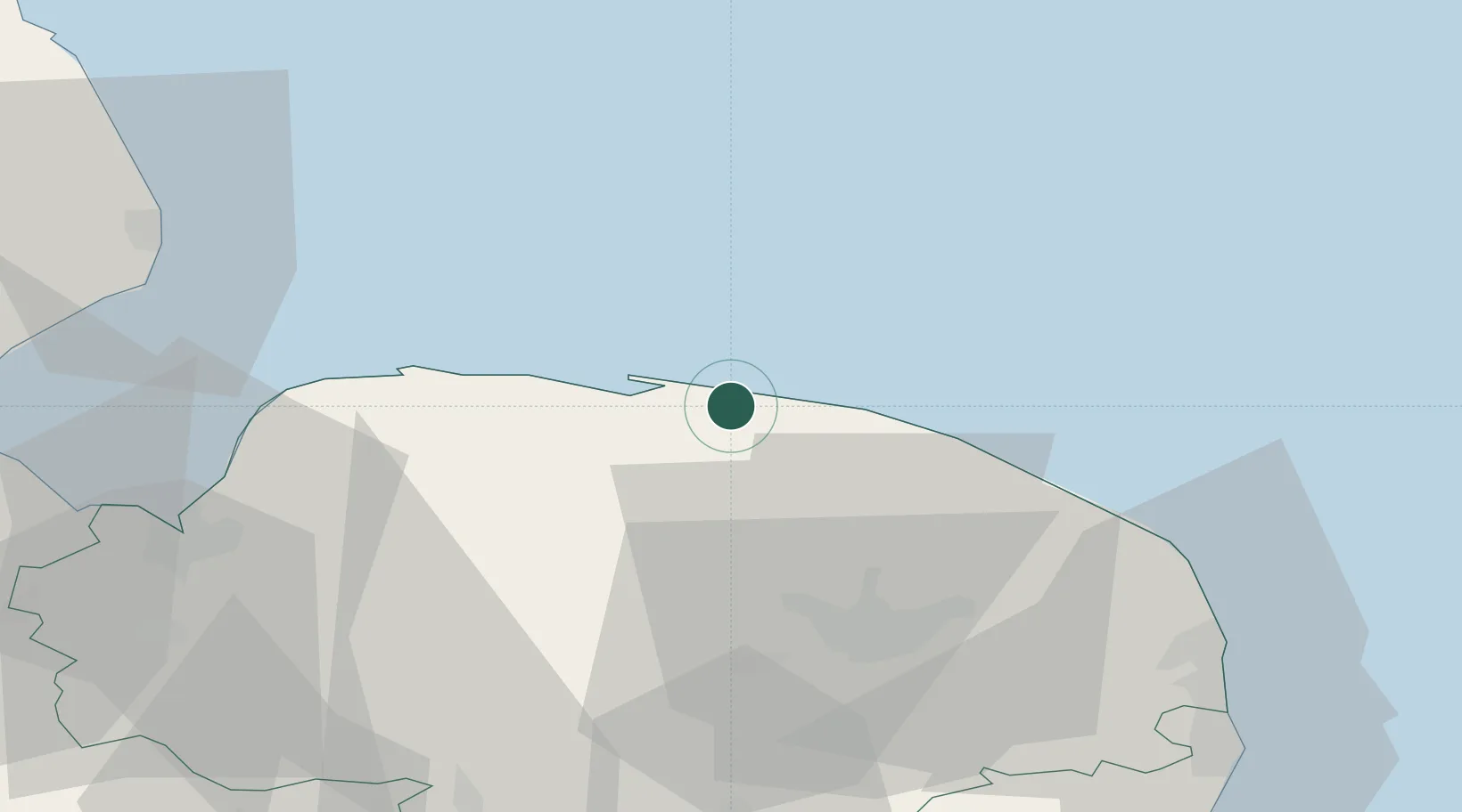
Location
Nearby Logistics Neighbours
Cities
- 1Weybourne2 km
- 2Holt4 km
- 3Blakeney6 km
- 4Sheringham7 km
- 5Morston9 km
Ports
- 1King's Lynn51 km
- 2Great Yarmouth55 km
- 3Lowestoft67 km
- 4Wisbech70 km
- 5Boston75 km
Airports
- 1Norwich Airport31 km
- 2RAF Marham49 km
- 3RAF Lakenheath69 km
- 4RAF Honington69 km
- 5RAF Mildenhall76 km
Trade Zones
- 1New Anglia Enterprise Zone87 km
- 2Cambridge Compass Enterprise Zone95 km
- 3Alconbury Weald Enterprise Zone110 km
- 4Humber Enterprise Zone131 km
- 5Humberside Free Zone133 km
DatabookThe Record of Consolidated Knowledge
United Kingdom beyond logistics?