UN/LOCODE hub · United Kingdom
GBSGM
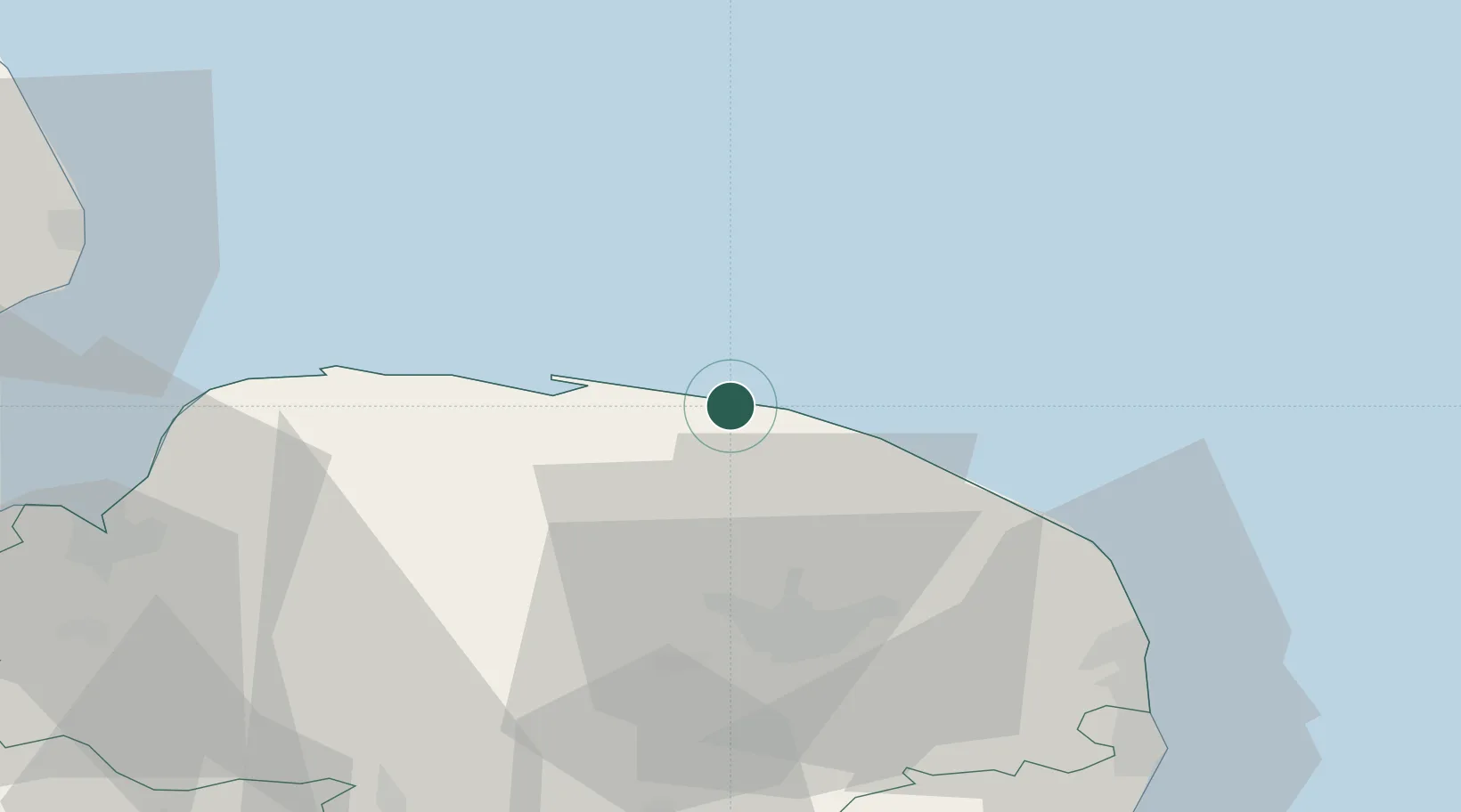
Sheringham
52.9333°, 1.2000°
8,090
Population
3
Transport functions
Transport Functions
Port
Rail
Road
Hub Profile
Place type
Populated place
Region
England
Population
8,090
Time zone
Europe/London
Elevation
26 m
Location
Nearby Logistics Neighbours
Ports
- 1Great Yarmouth50 km
- 2King's Lynn58 km
- 3Lowestoft62 km
- 4Wisbech77 km
- 5Boston82 km
Airports
- 1Norwich Airport29 km
- 2RAF Marham54 km
- 3RAF Honington72 km
- 4RAF Lakenheath72 km
- 5RAF Mildenhall80 km
Trade Zones
- 1New Anglia Enterprise Zone91 km
- 2Cambridge Compass Enterprise Zone100 km
- 3Alconbury Weald Enterprise Zone115 km
- 4Humber Enterprise Zone136 km
- 5Humberside Free Zone138 km
DatabookThe Record of Consolidated Knowledge
United Kingdom beyond logistics?