Transport Functions
Road
Multimodal
Hub Profile
Place type
Populated place
Region
England
Population
3,810
Time zone
Europe/London
Elevation
66 m
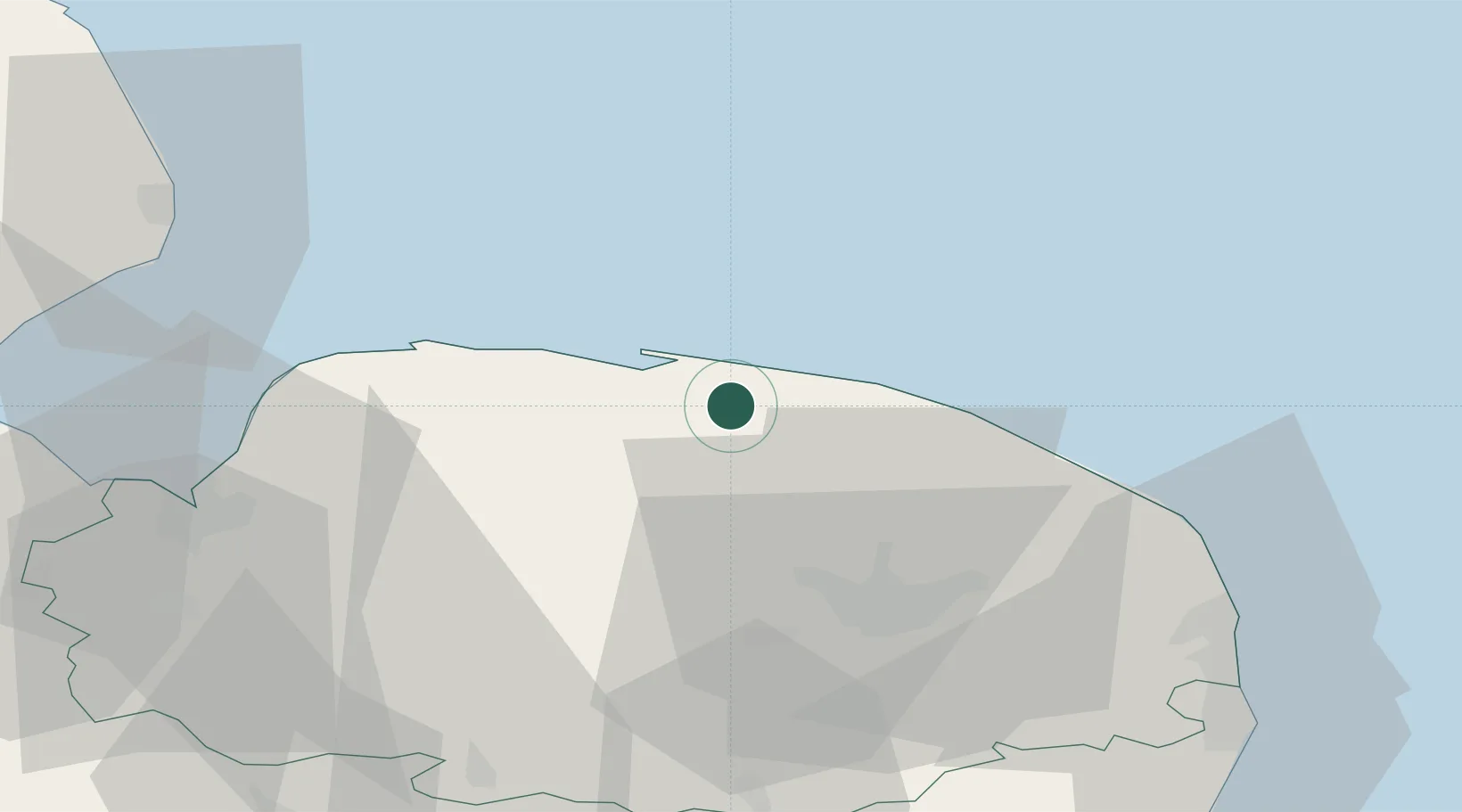
Location
Nearby Logistics Neighbours
Ports
- 1King's Lynn49 km
- 2Great Yarmouth54 km
- 3Lowestoft65 km
- 4Wisbech68 km
- 5Boston74 km
Airports
- 1Norwich Airport28 km
- 2RAF Marham46 km
- 3RAF Lakenheath65 km
- 4RAF Honington65 km
- 5RAF Mildenhall72 km
Trade Zones
- 1New Anglia Enterprise Zone83 km
- 2Cambridge Compass Enterprise Zone92 km
- 3Alconbury Weald Enterprise Zone107 km
- 4Humber Enterprise Zone133 km
- 5Humberside Free Zone135 km
DatabookThe Record of Consolidated Knowledge
United Kingdom beyond logistics?