Transport Functions
Port
Road
Hub Profile
Place type
Populated place
Region
England
Time zone
Europe/London
Elevation
78 m
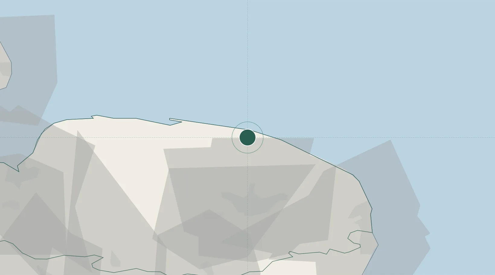
Location
Nearby Logistics Neighbours
Cities
- 1Cromer4 km
- 2Hoverton4 km
- 3Sheringham6 km
- 4Weybourne10 km
- 5Salthouse12 km
Ports
- 1Great Yarmouth45 km
- 2Lowestoft57 km
- 3King's Lynn61 km
- 4Wisbech80 km
- 5Boston86 km
Airports
- 1Norwich Airport25 km
- 2RAF Marham56 km
- 3RAF Honington70 km
- 4RAF Lakenheath72 km
- 5RAF Mildenhall80 km
Trade Zones
- 1New Anglia Enterprise Zone90 km
- 2Cambridge Compass Enterprise Zone100 km
- 3Alconbury Weald Enterprise Zone117 km
- 4Humber Enterprise Zone141 km
- 5Humberside Free Zone144 km
DatabookThe Record of Consolidated Knowledge
United Kingdom beyond logistics?