Transport Functions
Rail
Road
Hub Profile
Place type
Populated place
Region
England
Time zone
Europe/London
Elevation
82 m
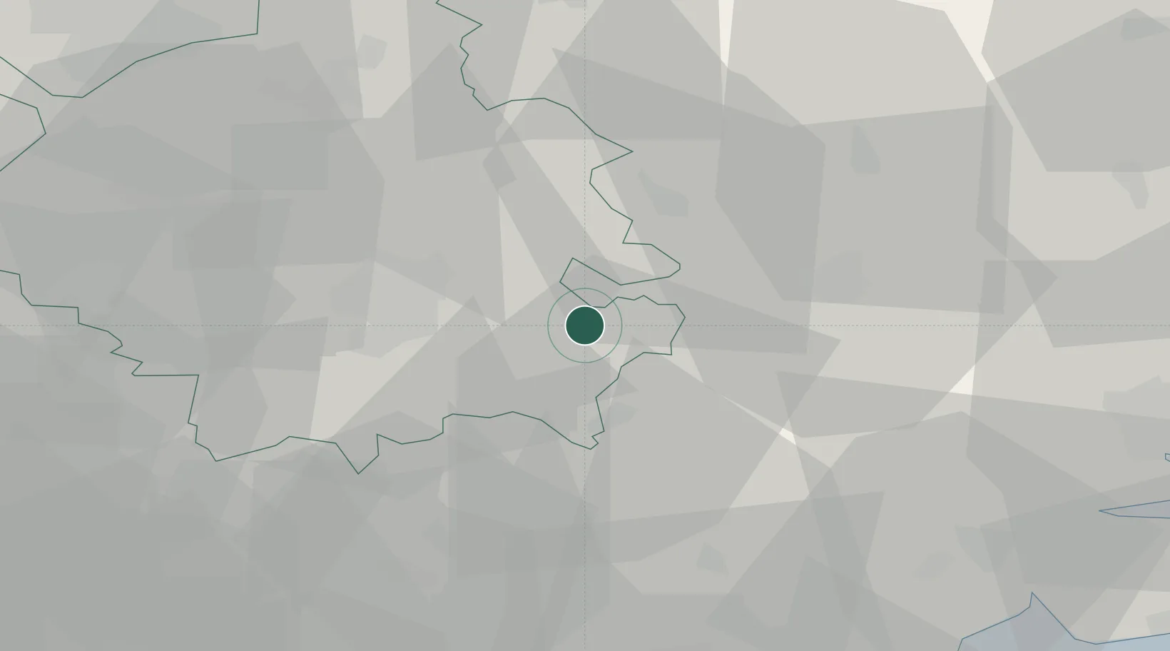
Location
Nearby Logistics Neighbours
Cities
- 1Kentford11 km
- 2Cavenham18 km
- 3Willingham23 km
- 4Stanstead23 km
- 5Witchford24 km
Ports
- 1Colchester51 km
- 2Wisbech54 km
- 3Ipswich56 km
- 4King's Lynn61 km
- 5Harwich68 km
Airports
- 1Cambridge City Airport14 km
- 2RAF Mildenhall19 km
- 3RAF Lakenheath26 km
- 4RAF Honington31 km
- 5London Stansted Airport37 km
Trade Zones
DatabookThe Record of Consolidated Knowledge
United Kingdom beyond logistics?