Transport Functions
Road
Multimodal
Hub Profile
Place type
Populated place
Region
England
Population
332
Time zone
Europe/London
Elevation
70 m
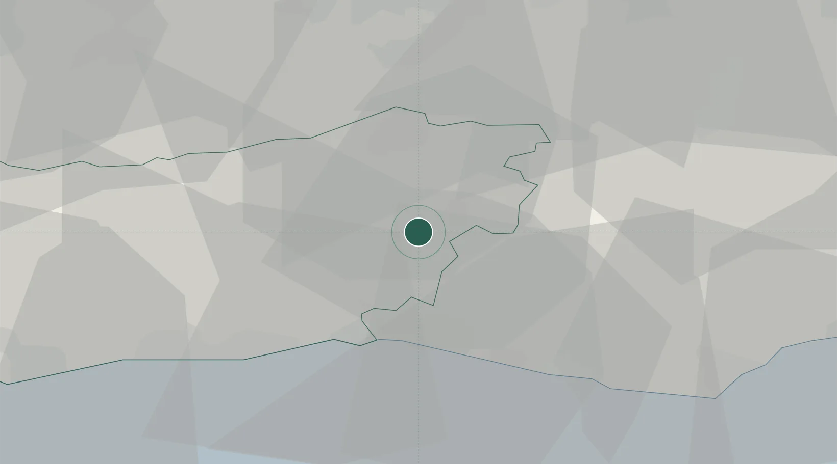
Location
Nearby Logistics Neighbours
Cities
- 1Sharpthorne12 km
- 2West Grinstead13 km
- 3Felbridge17 km
- 4Southwick18 km
- 5Barns Green18 km
Ports
- 1Shoreham Harbour20 km
- 2Newhaven Harbour26 km
- 3Littlehampton Harbour35 km
- 4London58 km
- 5Gravesend63 km
Airports
- 1London Gatwick Airport19 km
- 2Brighton City Airport19 km
- 3London Biggin Hill Airport41 km
- 4Farnborough Airport55 km
- 5London Heathrow Airport58 km
Trade Zones
DatabookThe Record of Consolidated Knowledge
United Kingdom beyond logistics?