Transport Functions
Multimodal
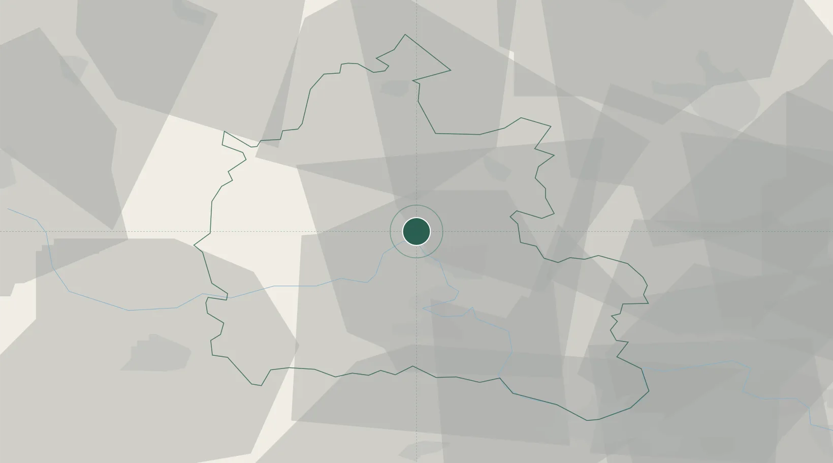
Hub Profile
Place type
Populated place
Region
England
Population
2,545
Time zone
Europe/London
Elevation
63 m
Location
Nearby Logistics Neighbours
Cities
- 1Cassington3 km
- 2Standlake12 km
- 3Curridge15 km
- 4Ardley16 km
- 5Enstone17 km
Ports
- 1Sharpness82 km
- 2London90 km
- 3Bristol99 km
- 4Southampton100 km
- 5Avonmouth103 km
Airports
- 1London Oxford Airport4 km
- 2RAF Brize Norton20 km
- 3RAF Benson25 km
- 4RAF Fairford36 km
- 5Cranfield Airport56 km
DatabookThe Record of Consolidated Knowledge
United Kingdom beyond logistics?