UN/LOCODE hub · United Kingdom
GBFBU

Fishbourne

50.7333°, -1.1667°
2
Transport functions

Transport Functions

Port
Road
UN/LOCODE

Hub Profile

Place type
Populated place
GeoNames
Region
England
GeoNames
Time zone
Europe/London
GeoNames
Elevation
12 m
GeoNames

Location

Location of GBFBU
Natural Earth 10m (public domain) · England · GBFBU · 50.73, -1.17GoogleOSMYandex

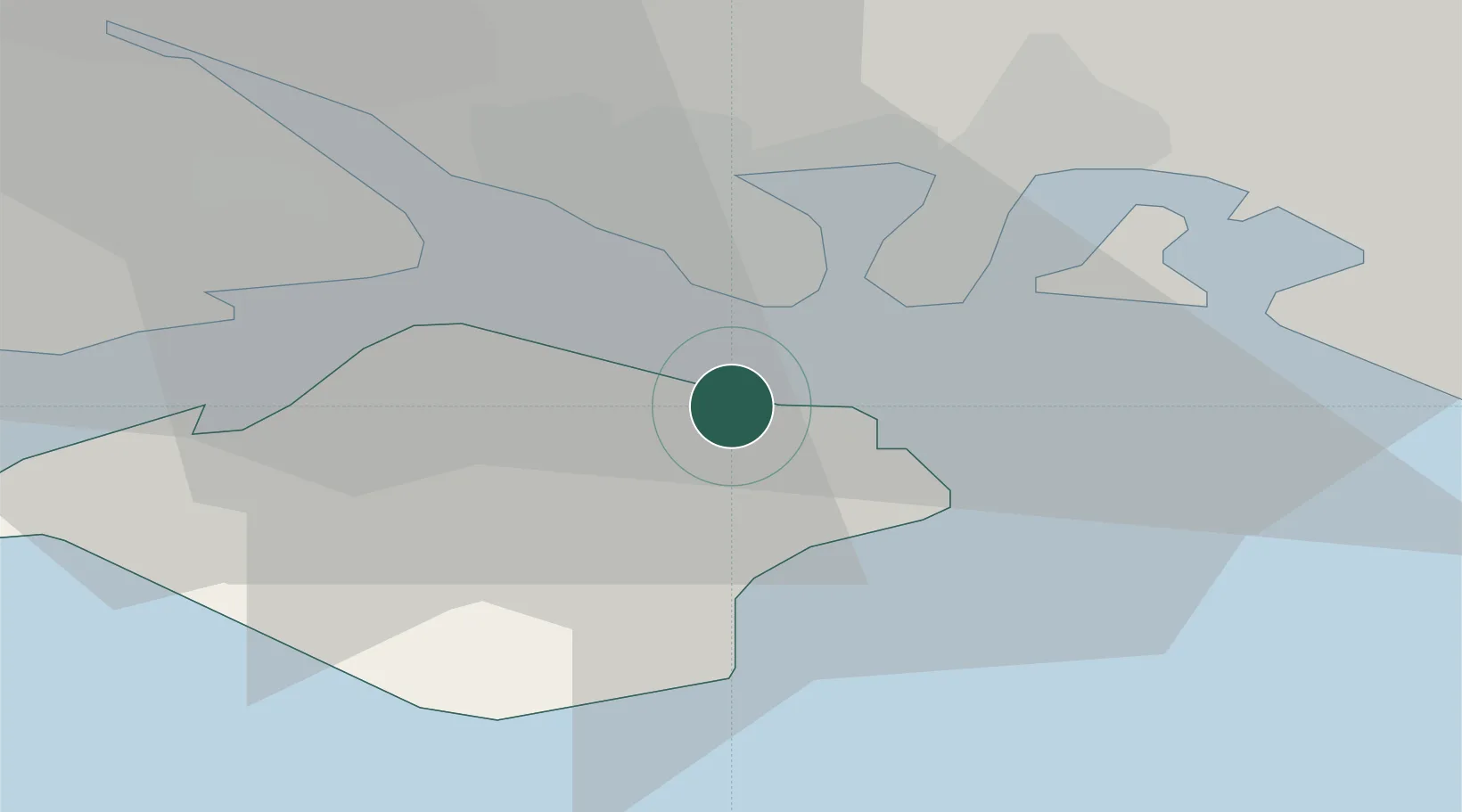
Nearby Logistics Neighbours

Cities
  1. 1Ryde0 km
  2. 2Downend7 km
  3. 3Saint Helens7 km
  4. 4Bembridge8 km
  5. 5Southsea9 km
Nearest neighbours — logibook spatial index (haversine) over the source coordinates
Ports
  1. 1Portsmouth Harbour9 km
  2. 2Cowes Harbour10 km
  3. 3Fawley Marine Terminal15 km
  4. 4Yarmouth Harbour24 km
  5. 5Southampton25 km
Nearest neighbours — logibook spatial index (haversine) over the source coordinates
Airports
  1. 1Southampton Airport28 km
  2. 2Bournemouth Airport48 km
  3. 3Lasham Airfield51 km
  4. 4RAF Odiham58 km
  5. 5MoD Boscombe Down62 km
Nearest neighbours — logibook spatial index (haversine) over the source coordinates
Trade Zones
  1. 1Solent Enterprise Zone13 km
  2. 2Southampton Free Zone27 km
  3. 3EZ³ Enterprise Zone44 km
  4. 4Dorset Innovation Park77 km
  5. 5Thames Valley Business Growth Hub Berkshire81 km
Nearest neighbours — logibook spatial index (haversine) over the source coordinates
DatabookThe Record of Consolidated Knowledge
United Kingdom beyond logistics?
Browse databook

All Sources

LocationsUN/LOCODE
UN/LOCODE — free
Portsthe NGA World Port Index
Public domain (US gov)
AirportsOurAirports
Public domain
Trade Zonesthe World Bank SEZ database
CC BY 4.0
Trade ZonesOpen Zone Map
CC BY
← United Kingdom locations