Transport Functions
Rail
Road
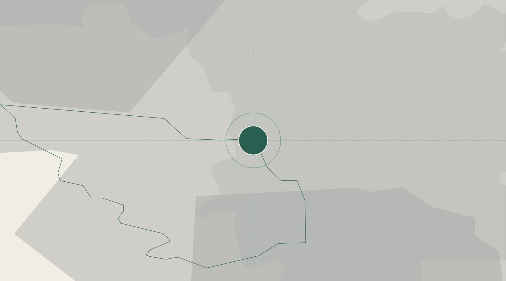
Hub Profile
Place type
Populated place
Region
England
Time zone
Europe/London
Elevation
173 m
Location
Nearby Logistics Neighbours
Cities
- 1Chapeltown0 km
- 2Grenoside4 km
- 3Wombwell7 km
- 4Rotherham7 km
- 5Loxley8 km
Ports
- 1Howdendyke49 km
- 2Goole49 km
- 3Manchester53 km
- 4New Holland77 km
- 5Kingston Upon Hull84 km
Airports
- 1Leeds East Airport45 km
- 2Leeds Bradford Airport46 km
- 3Manchester Airport55 km
- 4Nottingham City Airport66 km
- 5RAF Waddington71 km
DatabookThe Record of Consolidated Knowledge
United Kingdom beyond logistics?