Transport Functions
Multimodal
Hub Profile
Place type
Populated place
Region
England
Time zone
Europe/London
Elevation
216 m
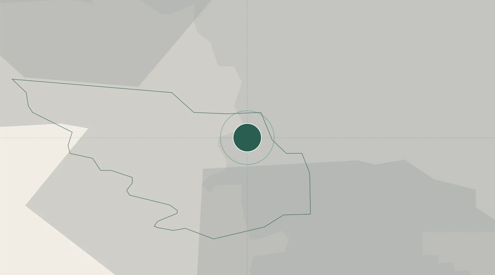
Location
Nearby Logistics Neighbours
Cities
- 1Loxley4 km
- 2Chapeltown4 km
- 3Tankersley4 km
- 4Attercliffe5 km
- 5Sheffield6 km
Ports
- 1Howdendyke52 km
- 2Manchester52 km
- 3Goole52 km
- 4New Holland80 km
- 5Kingston Upon Hull87 km
Airports
- 1Leeds East Airport49 km
- 2Leeds Bradford Airport50 km
- 3Manchester Airport54 km
- 4Nottingham City Airport63 km
- 5East Midlands Airport68 km
DatabookThe Record of Consolidated Knowledge
United Kingdom beyond logistics?