Transport Functions
Port
Road
Multimodal
Hub Profile
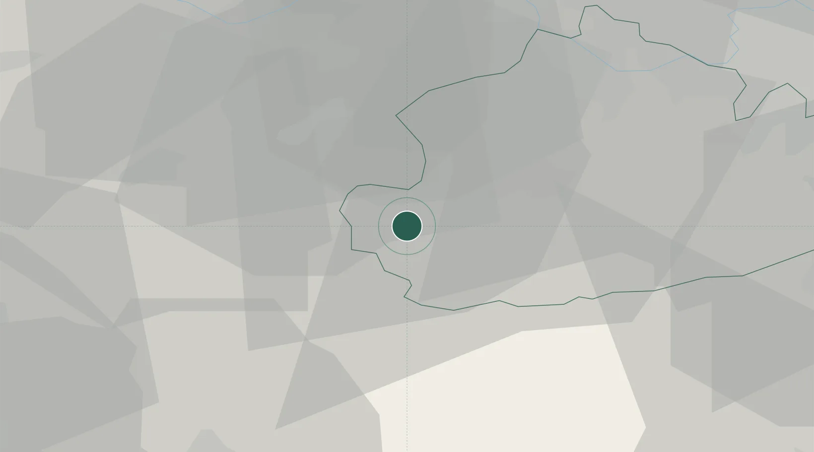
Place type
Populated place
Region
England
Time zone
Europe/London
Elevation
53 m
Location
Nearby Logistics Neighbours
Cities
- 1Henley2 km
- 2Wormley9 km
- 3Upper Froyle12 km
- 4Deepcut13 km
- 5Pirbright14 km
Ports
- 1Littlehampton Harbour47 km
- 2Portsmouth Harbour49 km
- 3Shoreham Harbour54 km
- 4Southampton55 km
- 5Fawley Marine Terminal58 km
Airports
- 1Farnborough Airport10 km
- 2RAF Odiham15 km
- 3Blackbushe Airport17 km
- 4Lasham Airfield20 km
- 5London Heathrow Airport38 km
Trade Zones
DatabookThe Record of Consolidated Knowledge
United Kingdom beyond logistics?