Transport Functions
Rail
Road
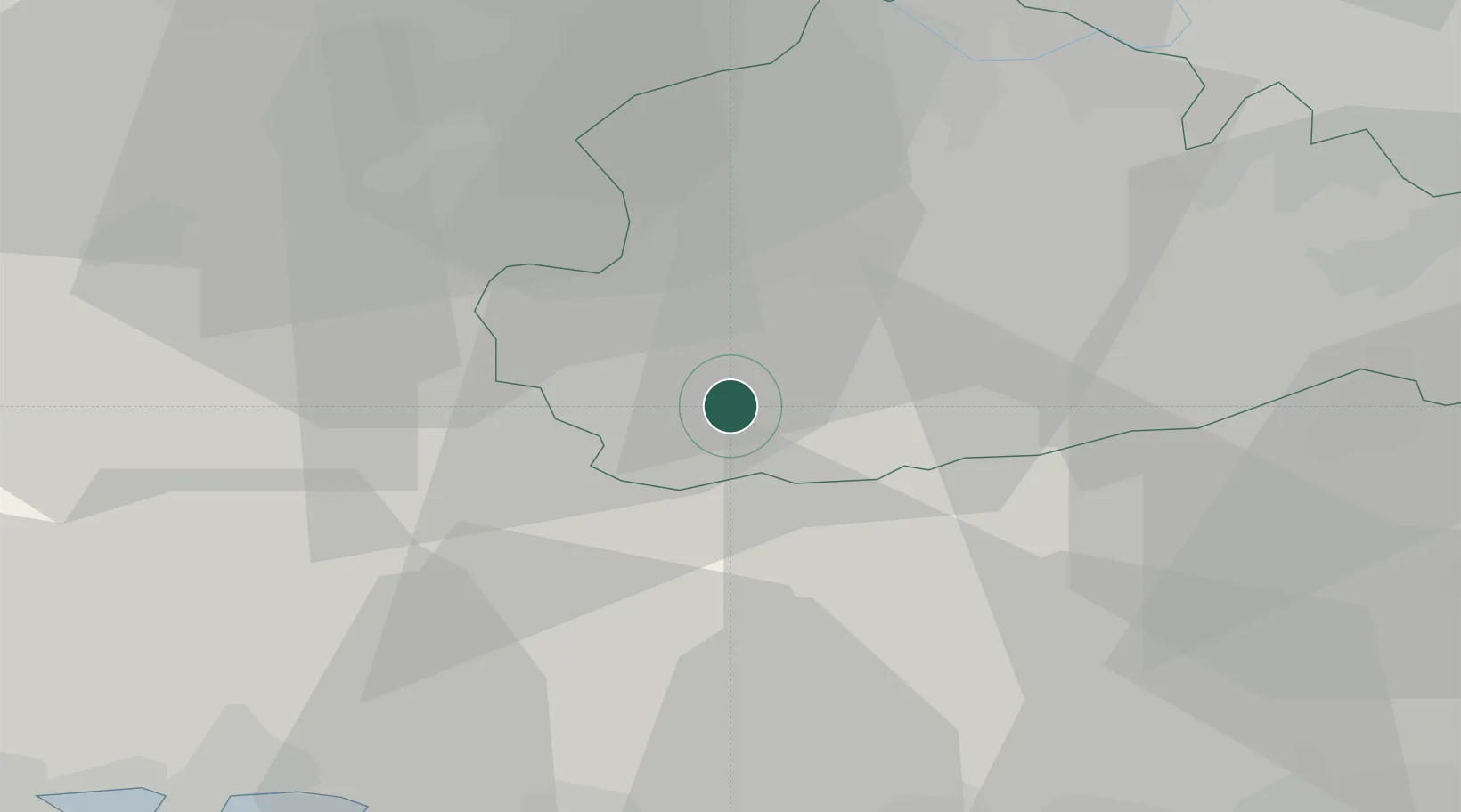
Hub Profile
Place type
Populated place
Region
England
Population
1,770
Time zone
Europe/London
Elevation
111 m
Location
Nearby Logistics Neighbours
Ports
- 1Littlehampton Harbour40 km
- 2Shoreham Harbour45 km
- 3Portsmouth Harbour49 km
- 4London57 km
- 5Southampton59 km
Airports
- 1Farnborough Airport18 km
- 2RAF Odiham23 km
- 3Blackbushe Airport25 km
- 4Lasham Airfield27 km
- 5London Gatwick Airport32 km
Trade Zones
DatabookThe Record of Consolidated Knowledge
United Kingdom beyond logistics?