Transport Functions
Rail
Road
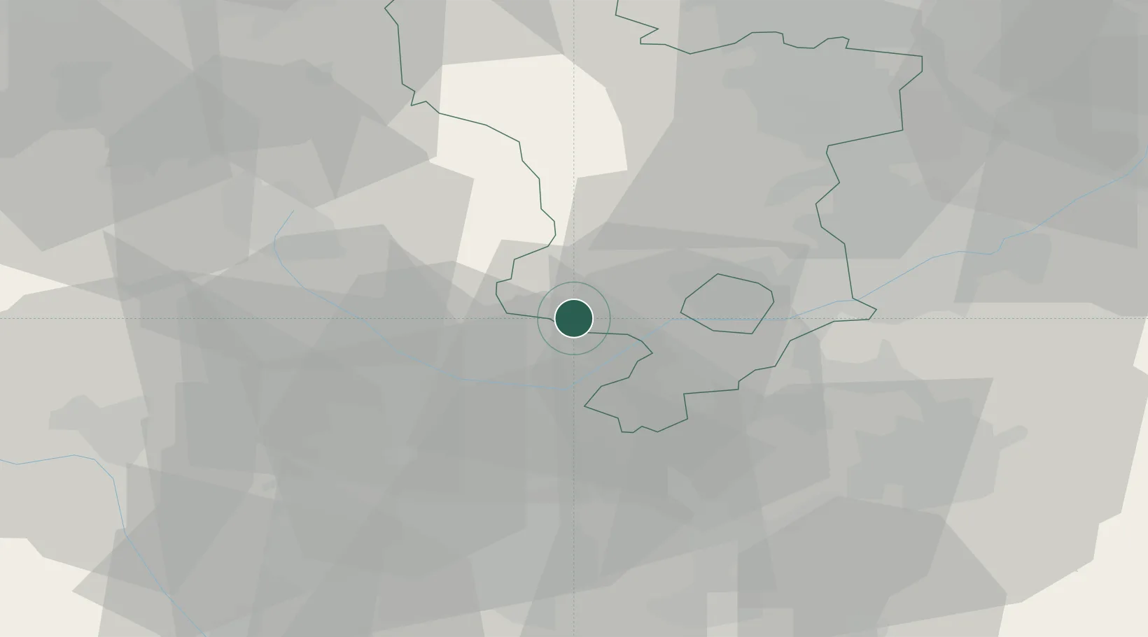
Hub Profile
Place type
Populated place
Region
England
Population
354
Time zone
Europe/London
Elevation
63 m
Location
Nearby Logistics Neighbours
Cities
- 1Hatton2 km
- 2Uttoxeter6 km
- 3Branston10 km
- 4Newton Solney11 km
- 5Hilton/Derby16 km
Ports
- 1Manchester78 km
- 2Garlston96 km
- 3Liverpool105 km
- 4Goole110 km
- 5Howdendyke111 km
Airports
- 1East Midlands Airport26 km
- 2Nottingham City Airport43 km
- 3Birmingham Airport46 km
- 4RAF Cosford47 km
- 5Coventry Airport58 km
Trade Zones
DatabookThe Record of Consolidated Knowledge
United Kingdom beyond logistics?