UN/LOCODE hub · United Kingdom
GBUTX
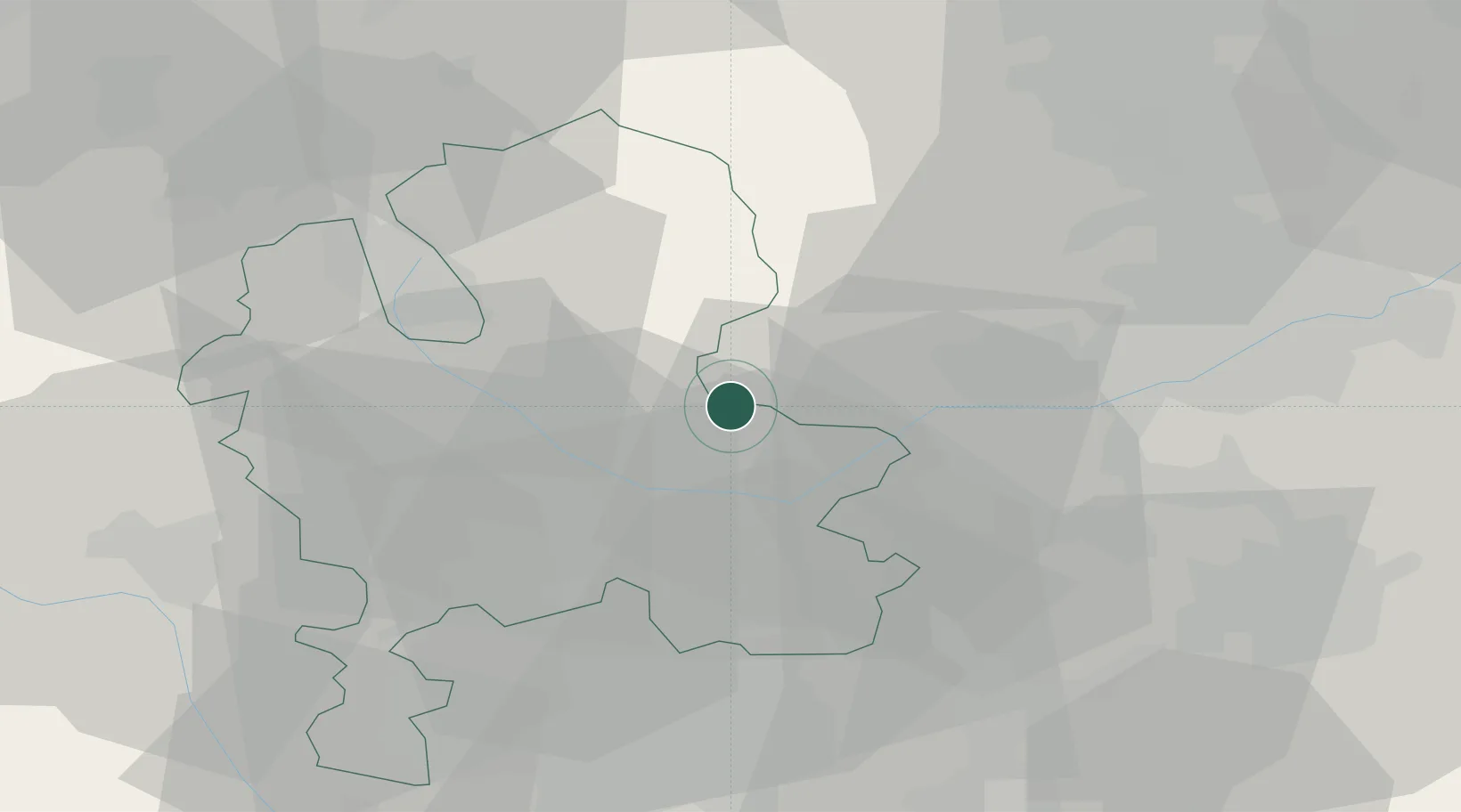
Uttoxeter
52.8662°, -1.8012°
13,089
Population
2
Transport functions
Transport Functions
Rail
Road
Hub Profile
Place type
Populated place
Region
England
Population
13,089
Time zone
Europe/London
Elevation
92 m
Logistics facilities
1
Location
Nearby Logistics Neighbours
Cities
- 1Scropton6 km
- 2Hatton8 km
- 3Branston13 km
- 4Great Haywood15 km
- 5Newton Solney16 km
Ports
- 1Manchester75 km
- 2Garlston91 km
- 3Liverpool101 km
- 4Mostyn110 km
- 5Goole113 km
Airports
- 1East Midlands Airport32 km
- 2RAF Cosford42 km
- 3Birmingham Airport46 km
- 4Nottingham City Airport49 km
- 5RAF Shawbury59 km
Trade Zones
DatabookThe Record of Consolidated Knowledge
United Kingdom beyond logistics?