Transport Functions
Port
Rail
Road
Hub Profile
Place type
Populated place
Region
England
Population
8,801
Time zone
Europe/London
Elevation
22 m
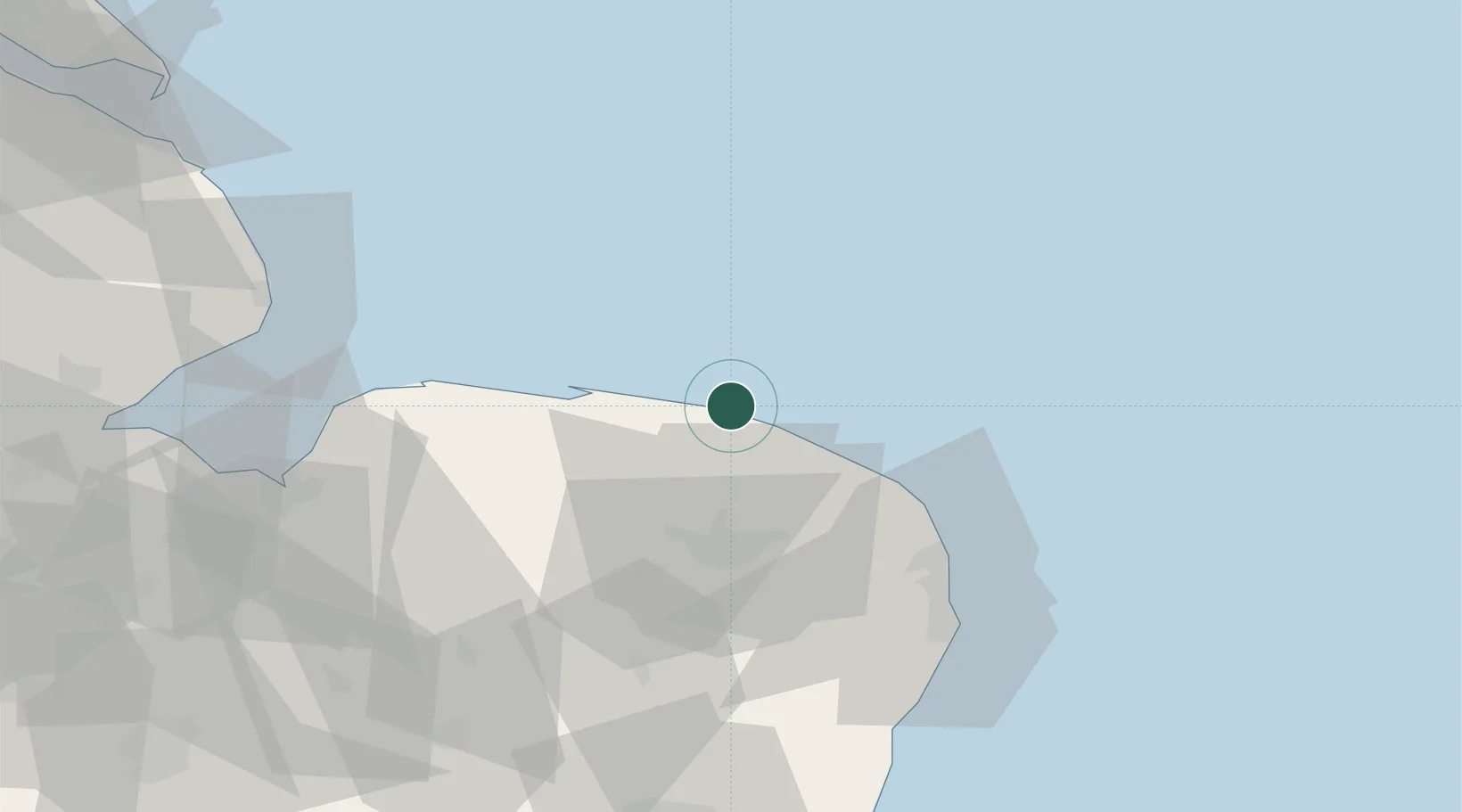
Location
Nearby Logistics Neighbours
Cities
- 1Hoverton0 km
- 2Felbrigg4 km
- 3Sheringham7 km
- 4Weybourne11 km
- 5Salthouse13 km
Ports
- 1Great Yarmouth46 km
- 2Lowestoft59 km
- 3King's Lynn64 km
- 4Wisbech83 km
- 5Boston88 km
Airports
- 1Norwich Airport29 km
- 2RAF Marham60 km
- 3RAF Honington75 km
- 4RAF Lakenheath77 km
- 5RAF Mildenhall84 km
Trade Zones
- 1New Anglia Enterprise Zone94 km
- 2Cambridge Compass Enterprise Zone105 km
- 3Alconbury Weald Enterprise Zone121 km
- 4Humber Enterprise Zone141 km
- 5Humberside Free Zone143 km
DatabookThe Record of Consolidated Knowledge
United Kingdom beyond logistics?