Transport Functions
Port
Rail
Road
Hub Profile
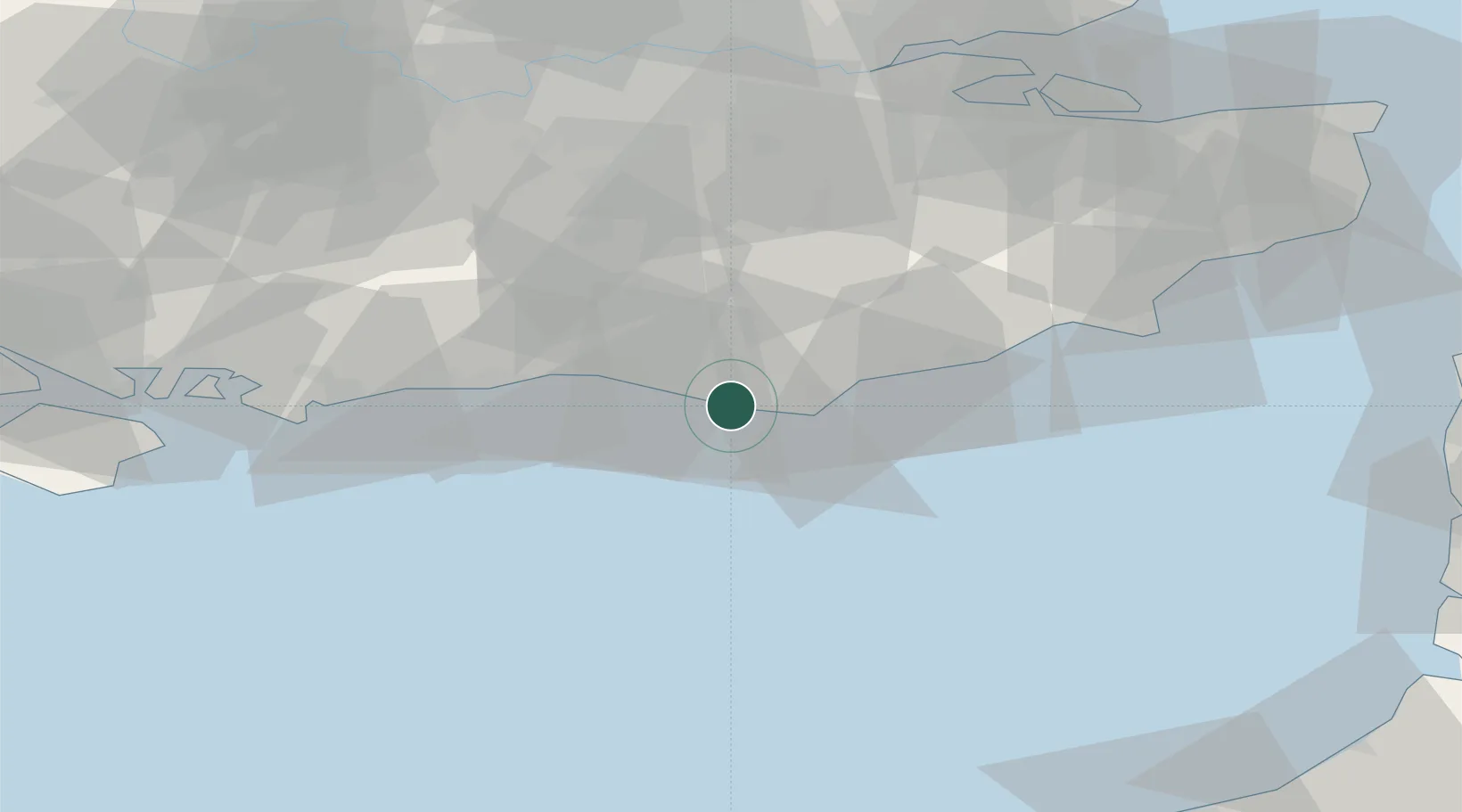
Place type
Populated place
Region
England
Population
22,584
Time zone
Europe/London
Elevation
10 m
Location
Nearby Logistics Neighbours
Cities
- 1Denton5 km
- 2Eastbourne13 km
- 3Normans Bay21 km
- 4Southwick25 km
- 5Shoreham-by-Sea27 km
Ports
- 1Newhaven Harbour4 km
- 2Shoreham Harbour25 km
- 3Littlehampton Harbour45 km
- 4Rye Harbour50 km
- 5Chatham Docks77 km
Airports
- 1Brighton City Airport29 km
- 2London Gatwick Airport47 km
- 3Lydd London Ashford Airport63 km
- 4London Biggin Hill Airport63 km
- 5London City Airport82 km
Trade Zones
DatabookThe Record of Consolidated Knowledge
United Kingdom beyond logistics?