Transport Functions
Port
Rail
Road
Hub Profile
Place type
Populated place
Region
England
Time zone
Europe/London
Elevation
7 m
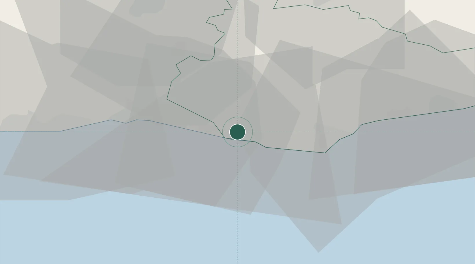
Location
Nearby Logistics Neighbours
Cities
- 1Seaford5 km
- 2Eastbourne17 km
- 3Southwick20 km
- 4Shoreham-by-Sea23 km
- 5Normans Bay24 km
Ports
- 1Newhaven Harbour2 km
- 2Shoreham Harbour21 km
- 3Littlehampton Harbour41 km
- 4Rye Harbour52 km
- 5Chatham Docks75 km
Airports
- 1Brighton City Airport25 km
- 2London Gatwick Airport42 km
- 3London Biggin Hill Airport59 km
- 4Lydd London Ashford Airport65 km
- 5Farnborough Airport78 km
Trade Zones
DatabookThe Record of Consolidated Knowledge
United Kingdom beyond logistics?