Transport Functions
Port
Road
Hub Profile
Place type
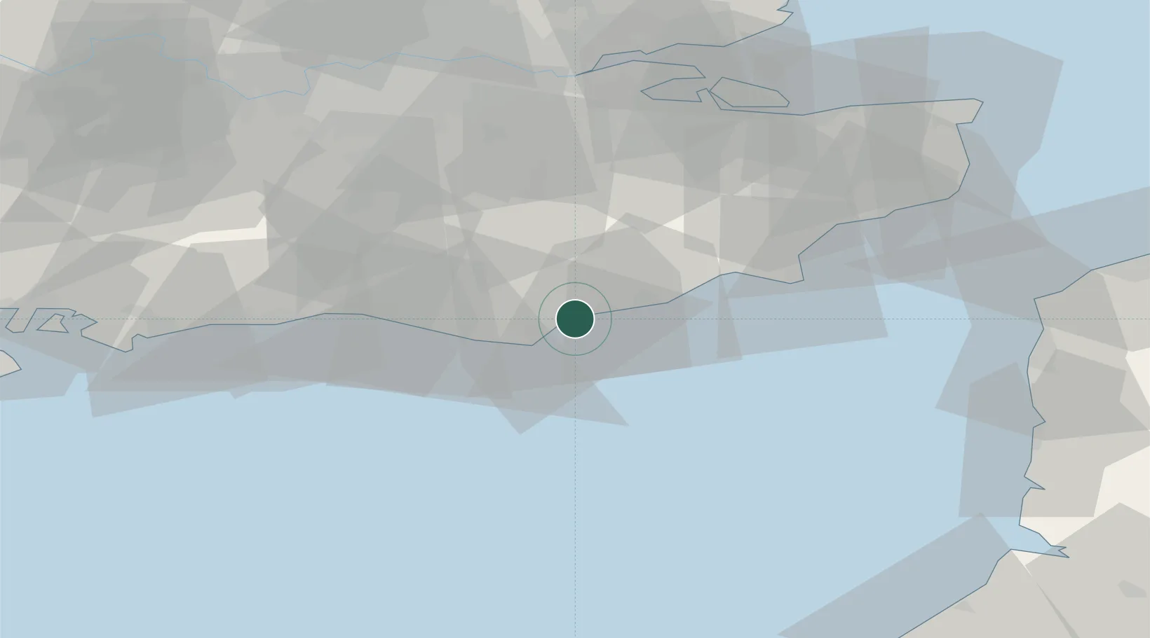
Populated place
Region
England
Time zone
Europe/London
Elevation
2 m
Location
Nearby Logistics Neighbours
Cities
- 1Bexhill7 km
- 2Eastbourne9 km
- 3Saint Leonards-on-Sea13 km
- 4Burwash20 km
- 5Seaford21 km
Ports
- 1Newhaven Harbour24 km
- 2Rye Harbour30 km
- 3Shoreham Harbour45 km
- 4Folkestone Harbour64 km
- 5Littlehampton Harbour65 km
Airports
- 1Lydd London Ashford Airport42 km
- 2Brighton City Airport48 km
- 3London Gatwick Airport54 km
- 4London Biggin Hill Airport62 km
- 5London City Airport80 km
Trade Zones
DatabookThe Record of Consolidated Knowledge
United Kingdom beyond logistics?