Transport Functions
Multimodal
Hub Profile
Place type
Populated place
Region
England
Time zone
Europe/London
Elevation
47 m
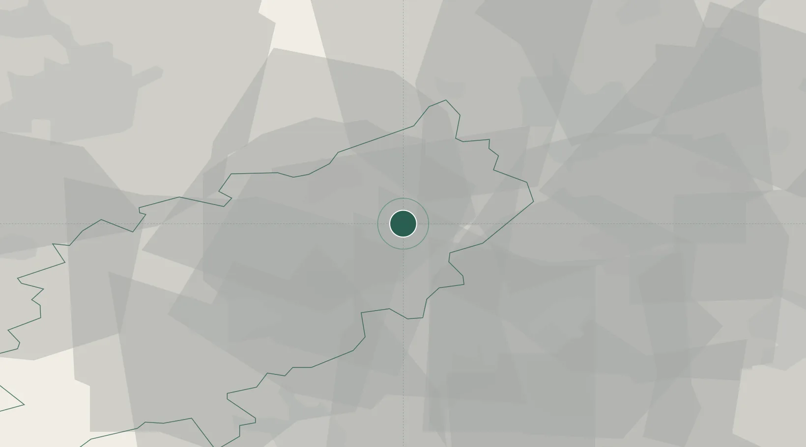
Location
Nearby Logistics Neighbours
Cities
- 1Peters Green0 km
- 2Islip4 km
- 3Stanwick11 km
- 4Gretton15 km
- 5Moulton19 km
Ports
- 1Wisbech56 km
- 2Boston72 km
- 3King's Lynn75 km
- 4London107 km
- 5Colchester117 km
Airports
- 1RAF Wittering23 km
- 2Cranfield Airport39 km
- 3Cambridge City Airport56 km
- 4RAF Barkston Heath61 km
- 5London Luton Airport62 km
Trade Zones
DatabookThe Record of Consolidated Knowledge
United Kingdom beyond logistics?