Transport Functions
Multimodal
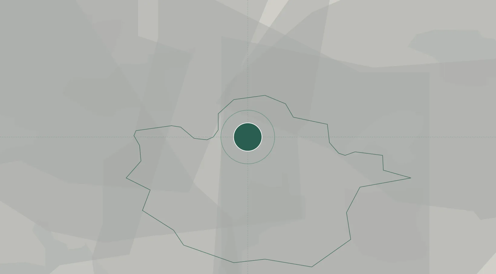
Hub Profile
Place type
Populated place
Region
England
Time zone
Europe/London
Elevation
104 m
Location
Nearby Logistics Neighbours
Cities
- 1Stanwick9 km
- 2Pavenham9 km
- 3Islip15 km
- 4Willington15 km
- 5Kempston17 km
Ports
- 1Wisbech63 km
- 2King's Lynn82 km
- 3Boston86 km
- 4London88 km
- 5Tilbury104 km
Airports
- 1Cranfield Airport22 km
- 2RAF Wittering40 km
- 3London Luton Airport43 km
- 4Cambridge City Airport45 km
- 5London Stansted Airport64 km
Trade Zones
DatabookThe Record of Consolidated Knowledge
United Kingdom beyond logistics?