UN/LOCODE hub · United Kingdom
GBSWJ
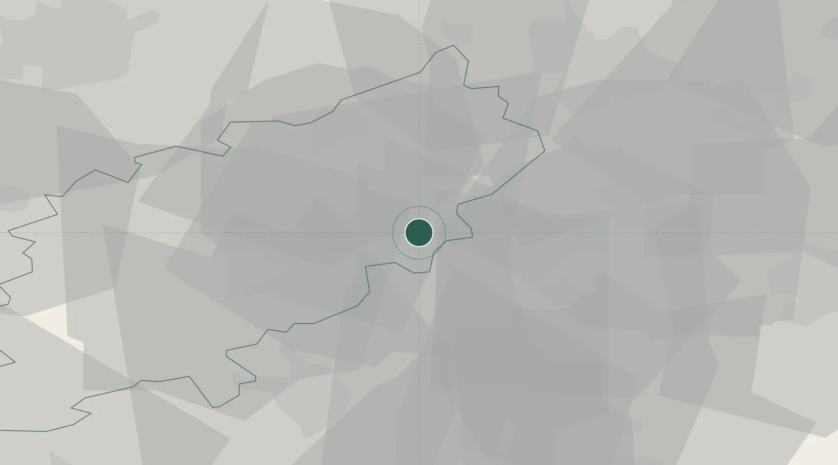
Stanwick
52.3167°, -0.5500°
1,942
Population
1
Transport functions
Transport Functions
Multimodal
Hub Profile
Place type
Populated place
Region
England
Population
1,942
Time zone
Europe/London
Elevation
53 m
Location
Nearby Logistics Neighbours
Cities
- 1Islip8 km
- 2Moulton9 km
- 3Sudborough11 km
- 4Peters Green11 km
- 5Pavenham15 km
Ports
- 1Wisbech61 km
- 2King's Lynn80 km
- 3Boston81 km
- 4London96 km
- 5Colchester111 km
Airports
- 1Cranfield Airport28 km
- 2RAF Wittering33 km
- 3London Luton Airport51 km
- 4Cambridge City Airport51 km
- 5Coventry Airport63 km
DatabookThe Record of Consolidated Knowledge
United Kingdom beyond logistics?