UN/LOCODE hub · United Kingdom
GBPVG
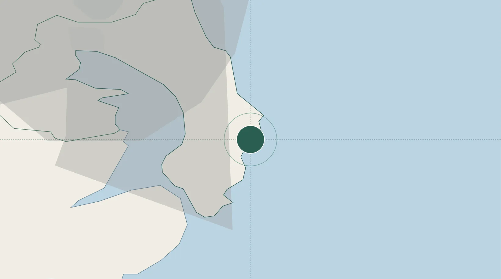
Portavogie
54.4500°, -5.4500°
1,639
Population
2
Transport functions
Transport Functions
Port
Road
Hub Profile
Place type
Populated place
Region
Northern Ireland
Population
1,639
Time zone
Europe/London
Elevation
7 m
Location
Nearby Logistics Neighbours
Cities
- 1Ballyhalbert6 km
- 2Ardkeen6 km
- 3Kircubbin7 km
- 4Ballywalter10 km
- 5Portaferry10 km
Airports
- 1George Best Belfast City Airport33 km
- 2Belfast International Airport55 km
- 3Isle of Man Airport67 km
- 4Campbeltown Airport111 km
- 5Dublin Airport125 km
Trade Zones
DatabookThe Record of Consolidated Knowledge
United Kingdom beyond logistics?