UN/LOCODE hub · United Kingdom
GBBHB

Ballyhalbert

54.5000°, -5.4500°
1
Transport functions

Transport Functions

Port
UN/LOCODE

Hub Profile

Region
DOW
GeoNames

Location

Location of GBBHB
Natural Earth 10m (public domain) · DOW · GBBHB · 54.50, -5.45GoogleOSMYandex

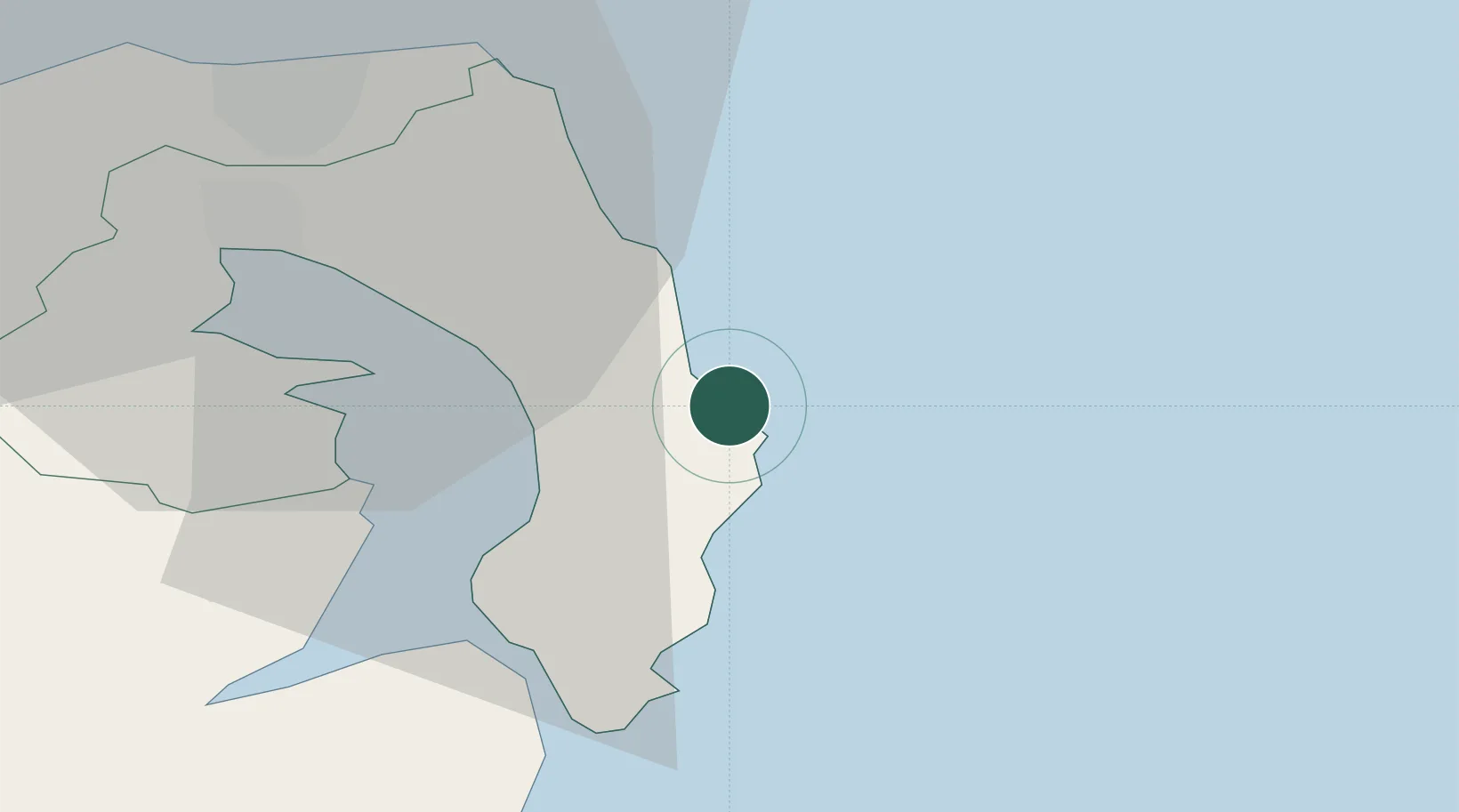
Nearby Logistics Neighbours

Cities
  1. 1Ballywalter4 km
  2. 2Portavogie6 km
  3. 3Kircubbin6 km
  4. 4Ardkeen10 km
  5. 5Ballydorn12 km
Nearest neighbours — logibook spatial index (haversine) over the source coordinates
Ports
  1. 1Bangor22 km
  2. 2Ardglass28 km
  3. 3Kilroot31 km
  4. 4Belfast32 km
  5. 5Larne45 km
Nearest neighbours — logibook spatial index (haversine) over the source coordinates
Airports
  1. 1George Best Belfast City Airport30 km
  2. 2Belfast International Airport52 km
  3. 3Isle of Man Airport71 km
  4. 4Campbeltown Airport105 km
  5. 5Glasgow Prestwick Airport125 km
Nearest neighbours — logibook spatial index (haversine) over the source coordinates
Trade Zones
  1. 1Isle of Man Free Zone and Business Park70 km
  2. 2Prestwick Airport Free Zone124 km
  3. 3Dublin International Financial Services Centre138 km
  4. 4Carlisle Kingmoor Park Enterprise Zone167 km
  5. 5Blackpool Enterprise Zone177 km
Nearest neighbours — logibook spatial index (haversine) over the source coordinates
DatabookThe Record of Consolidated Knowledge
United Kingdom beyond logistics?
Browse databook

All Sources

LocationsUN/LOCODE
UN/LOCODE — free
Portsthe NGA World Port Index
Public domain (US gov)
AirportsOurAirports
Public domain
Trade Zonesthe World Bank SEZ database
CC BY 4.0
Trade ZonesOpen Zone Map
CC BY
← United Kingdom locations