UN/LOCODE hub · United Kingdom
GBPTD
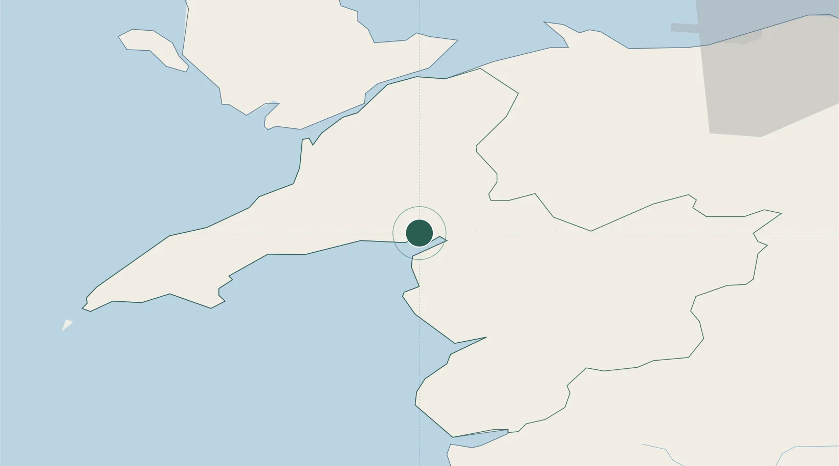
Porthmadog
52.9333°, -4.1167°
2,981
Population
1
Transport functions
Transport Functions
Port
Hub Profile
Place type
District seat
Region
Wales
Population
2,981
Time zone
Europe/London
Elevation
4 m
Location
Nearby Logistics Neighbours
Cities
- 1Borth-y-Gest2 km
- 2Portmeirion2 km
- 3Criccieth8 km
- 4Trefor20 km
- 5Llanberis20 km
Ports
- 1Caernarvon26 km
- 2Holyhead55 km
- 3Mostyn71 km
- 4Liverpool Bay Terminal77 km
- 5Liverpool92 km
Airports
- 1Anglesey Airport45 km
- 2Hawarden Airport81 km
- 3Liverpool John Lennon Airport96 km
- 4RAF Shawbury98 km
- 5Blackpool Airport118 km
Trade Zones
- 1Mersey Waters Enterprise Zone90 km
- 2Cheshire Science Corridor91 km
- 3Liverpool Free Zone103 km
- 4Sci-Tech Daresbury Enterprise Zone109 km
- 5Blackpool Enterprise Zone118 km
DatabookThe Record of Consolidated Knowledge
United Kingdom beyond logistics?