Transport Functions
Port
Road
Hub Profile
Place type
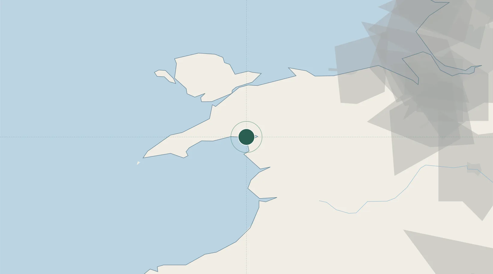
Populated place
Region
Wales
Time zone
Europe/London
Elevation
22 m
Location
Nearby Logistics Neighbours
Cities
- 1Porthmadog2 km
- 2Portmeirion2 km
- 3Criccieth7 km
- 4Pwllheli19 km
- 5Trefor20 km
Ports
- 1Caernarvon27 km
- 2Holyhead56 km
- 3Mostyn73 km
- 4Liverpool Bay Terminal79 km
- 5Liverpool94 km
Airports
- 1Anglesey Airport46 km
- 2Hawarden Airport83 km
- 3Liverpool John Lennon Airport98 km
- 4RAF Shawbury99 km
- 5Blackpool Airport120 km
Trade Zones
- 1Mersey Waters Enterprise Zone92 km
- 2Cheshire Science Corridor93 km
- 3Liverpool Free Zone105 km
- 4Sci-Tech Daresbury Enterprise Zone110 km
- 5Blackpool Enterprise Zone120 km
DatabookThe Record of Consolidated Knowledge
United Kingdom beyond logistics?