Transport Functions
Road
Multimodal
Hub Profile
Place type
Populated place
Region
Wales
Time zone
Europe/London
Elevation
37 m
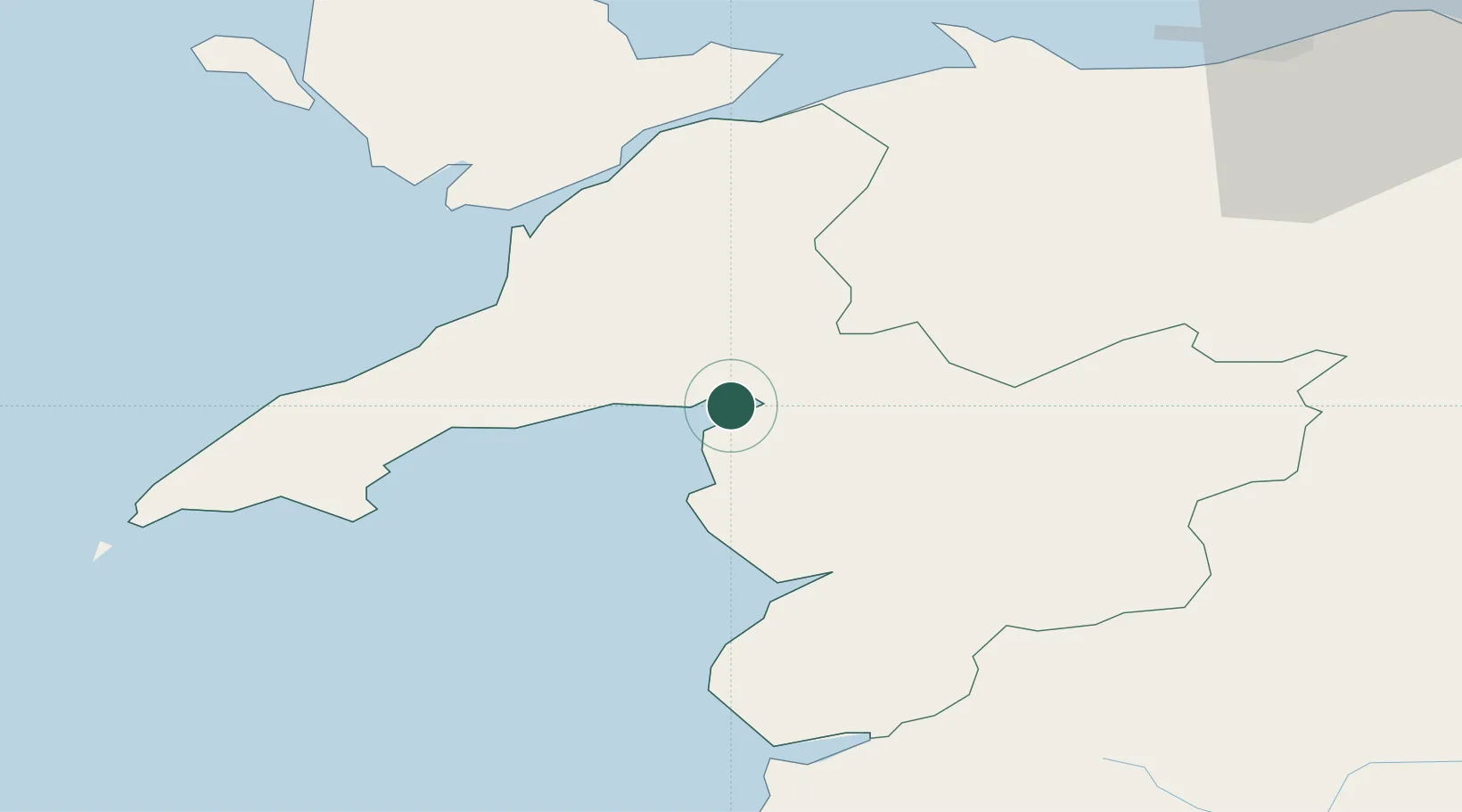
Location
Nearby Logistics Neighbours
Cities
- 1Porthmadog2 km
- 2Borth-y-Gest2 km
- 3Criccieth9 km
- 4Llanaber20 km
- 5Pwllheli22 km
Ports
- 1Caernarvon28 km
- 2Holyhead57 km
- 3Mostyn71 km
- 4Liverpool Bay Terminal78 km
- 5Liverpool92 km
Airports
- 1Anglesey Airport47 km
- 2Hawarden Airport80 km
- 3Liverpool John Lennon Airport96 km
- 4RAF Shawbury97 km
- 5Blackpool Airport119 km
Trade Zones
- 1Mersey Waters Enterprise Zone90 km
- 2Cheshire Science Corridor91 km
- 3Liverpool Free Zone103 km
- 4Sci-Tech Daresbury Enterprise Zone108 km
- 5Blackpool Enterprise Zone119 km
DatabookThe Record of Consolidated Knowledge
United Kingdom beyond logistics?