UN/LOCODE hub · United Kingdom
GBPMR

Port Mor, Muck

56.8333°, -6.2333°
2
Transport functions

Transport Functions

Port
Road
UN/LOCODE

Hub Profile

Region
HLD
GeoNames

Location

Location of GBPMR
Natural Earth 10m (public domain) · HLD · GBPMR · 56.83, -6.23GoogleOSMYandex

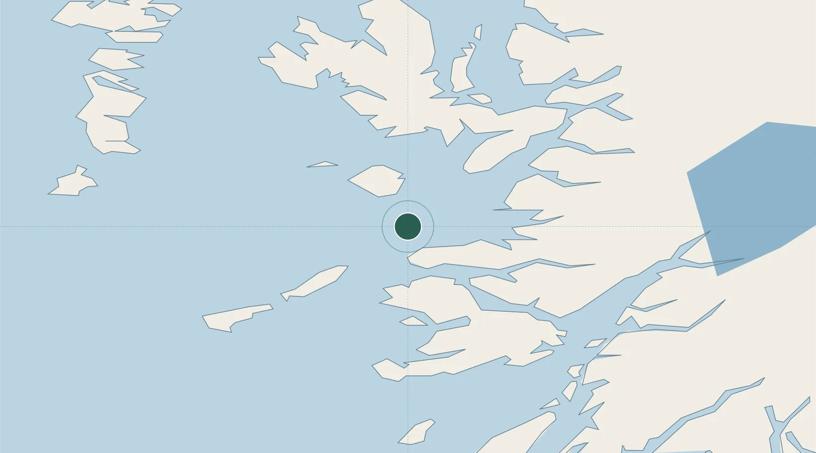
Nearby Logistics Neighbours

Cities
  1. 1Galmisdale, Eigg8 km
  2. 2Eigg8 km
  3. 3Kilchoan17 km
  4. 4Kinloch, Rum19 km
  5. 5Ardnamurchan19 km
Nearest neighbours — logibook spatial index (haversine) over the source coordinates
Ports
  1. 1Tobermory26 km
  2. 2Mallaig31 km
  3. 3Lochaline43 km
  4. 4Broadford Bay51 km
  5. 5Glensanda52 km
Nearest neighbours — logibook spatial index (haversine) over the source coordinates
Airports
  1. 1Coll Airport35 km
  2. 2Tiree Airport54 km
  3. 3Oban Airport66 km
  4. 4Barra Airport76 km
  5. 5Colonsay Airstrip86 km
Nearest neighbours — logibook spatial index (haversine) over the source coordinates
Trade Zones
  1. 1Prestwick Airport Free Zone178 km
  2. 2Carlisle Kingmoor Park Enterprise Zone293 km
  3. 3Isle of Man Free Zone and Business Park321 km
  4. 4Dublin International Financial Services Centre387 km
  5. 5Blackpool Enterprise Zone396 km
Nearest neighbours — logibook spatial index (haversine) over the source coordinates
DatabookThe Record of Consolidated Knowledge
United Kingdom beyond logistics?
Browse databook

All Sources

LocationsUN/LOCODE
UN/LOCODE — free
Portsthe NGA World Port Index
Public domain (US gov)
AirportsOurAirports
Public domain
Trade Zonesthe World Bank SEZ database
CC BY 4.0
Trade ZonesOpen Zone Map
CC BY
← United Kingdom locations