Transport Functions
Port
Hub Profile
Place type
Populated place
Region
Scotland
Population
2,240
Time zone
Europe/London
Elevation
281 m
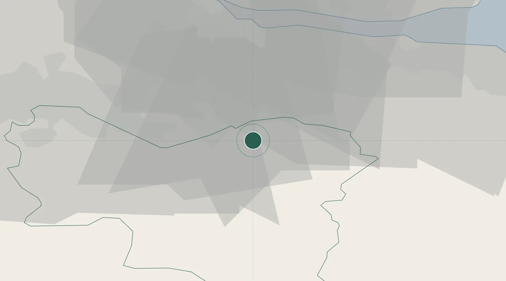
Location
Nearby Logistics Neighbours
Cities
- 1Shotts10 km
- 2Shotts11 km
- 3Morningside12 km
- 4Law13 km
- 5Holytown19 km
Ports
- 1Grangemouth30 km
- 2Rosyth34 km
- 3Hound Point Terminal34 km
- 4Braefoot Bay Terminal39 km
- 5Granton39 km
Airports
- 1Edinburgh Airport30 km
- 2Glasgow Airport49 km
- 3Glasgow Prestwick Airport63 km
- 4Leuchars Station Airfield86 km
- 5Dundee Airport88 km
Trade Zones
DatabookThe Record of Consolidated Knowledge
United Kingdom beyond logistics?