Transport Functions
Port
Rail
Road
Hub Profile
Region
ESX
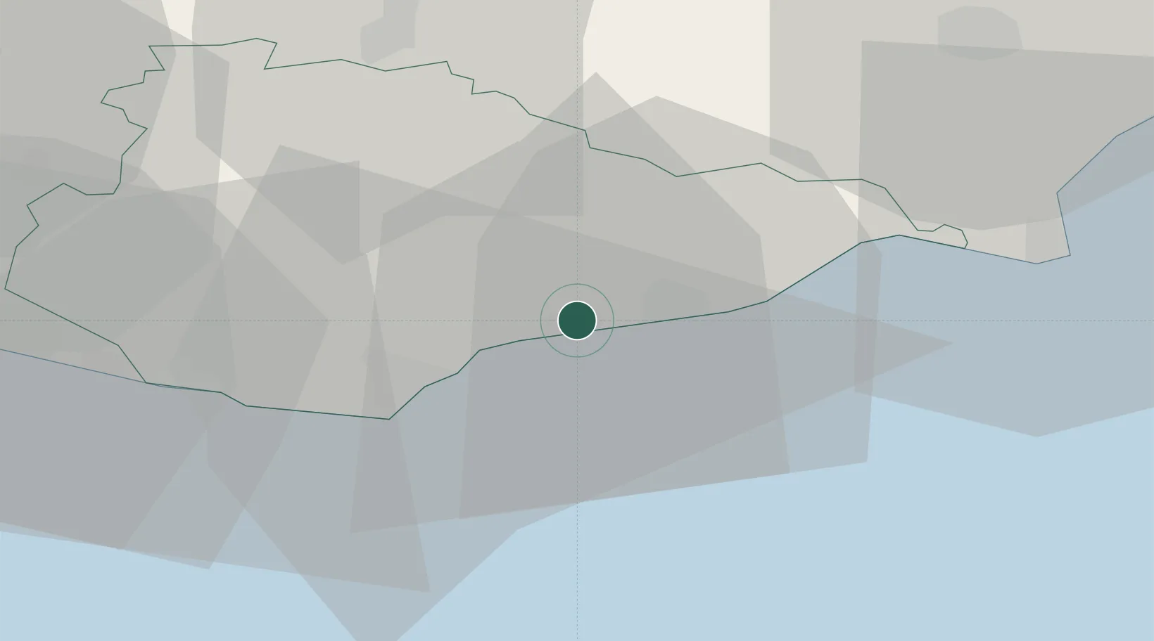
Location
Nearby Logistics Neighbours
Cities
- 1Normans Bay7 km
- 2Saint Leonards-on-Sea7 km
- 3Eastbourne16 km
- 4Burwash18 km
- 5Northiam19 km
Ports
- 1Rye Harbour23 km
- 2Newhaven Harbour30 km
- 3Shoreham Harbour51 km
- 4Folkestone Harbour58 km
- 5Chatham Docks61 km
Airports
- 1Lydd London Ashford Airport35 km
- 2Brighton City Airport54 km
- 3London Gatwick Airport57 km
- 4London Biggin Hill Airport62 km
- 5London City Airport78 km
Trade Zones
DatabookThe Record of Consolidated Knowledge
United Kingdom beyond logistics?