Transport Functions
Multimodal
Hub Profile
Place type
Populated place
Region
England
Population
1,317
Time zone
Europe/London
Elevation
92 m
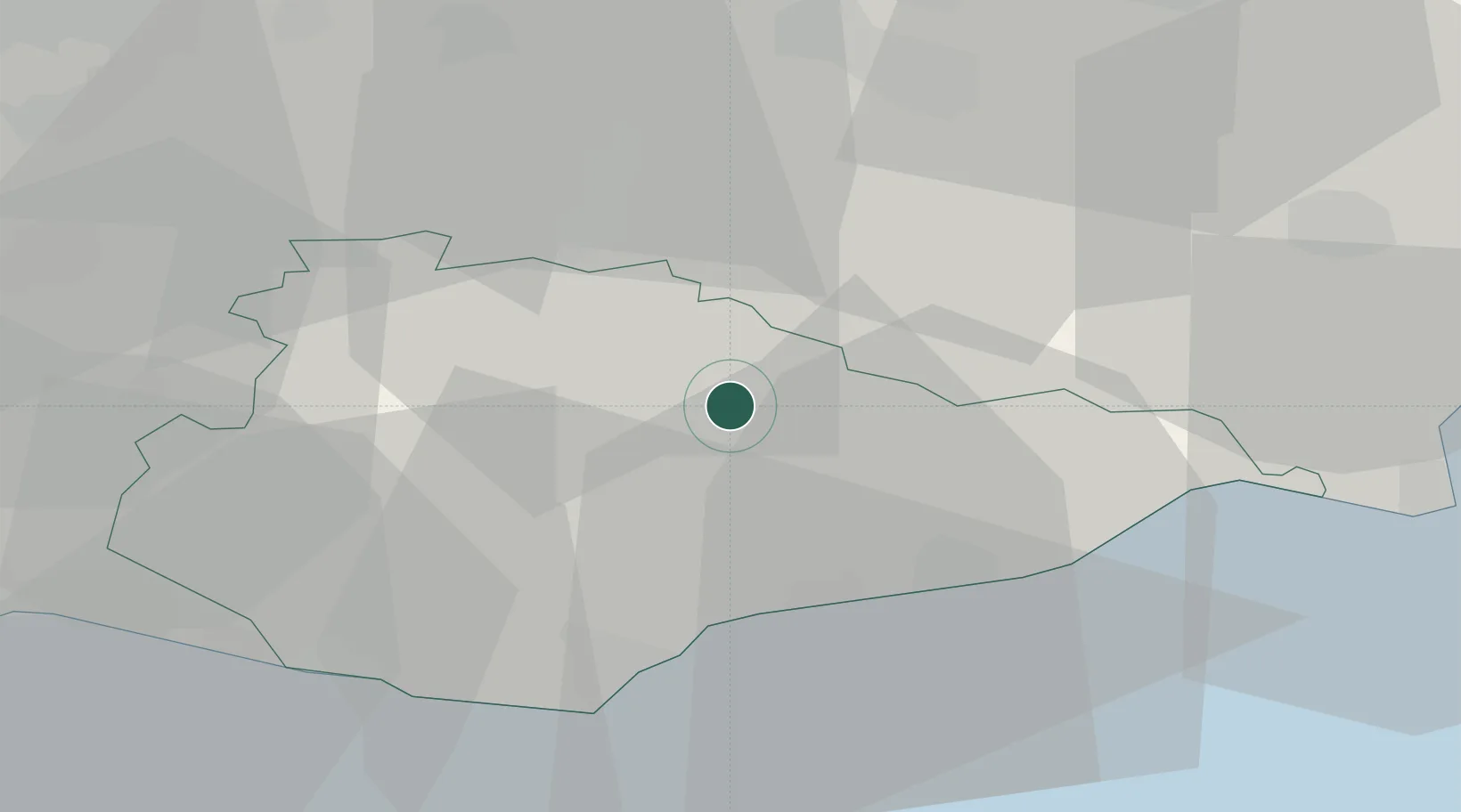
Location
Nearby Logistics Neighbours
Cities
- 1Cousley Wood10 km
- 2Northiam15 km
- 3Royal Tunbridge Wells17 km
- 4Bexhill18 km
- 5Four Oaks19 km
Ports
- 1Rye Harbour28 km
- 2Newhaven Harbour34 km
- 3Chatham Docks46 km
- 4Shoreham Harbour49 km
- 5Gravesend50 km
Airports
- 1Lydd London Ashford Airport39 km
- 2London Gatwick Airport43 km
- 3London Biggin Hill Airport44 km
- 4Brighton City Airport51 km
- 5London City Airport61 km
Trade Zones
DatabookThe Record of Consolidated Knowledge
United Kingdom beyond logistics?