Transport Functions
Multimodal
Hub Profile
Place type
Urban district
Region
England
Time zone
Europe/London
Elevation
138 m
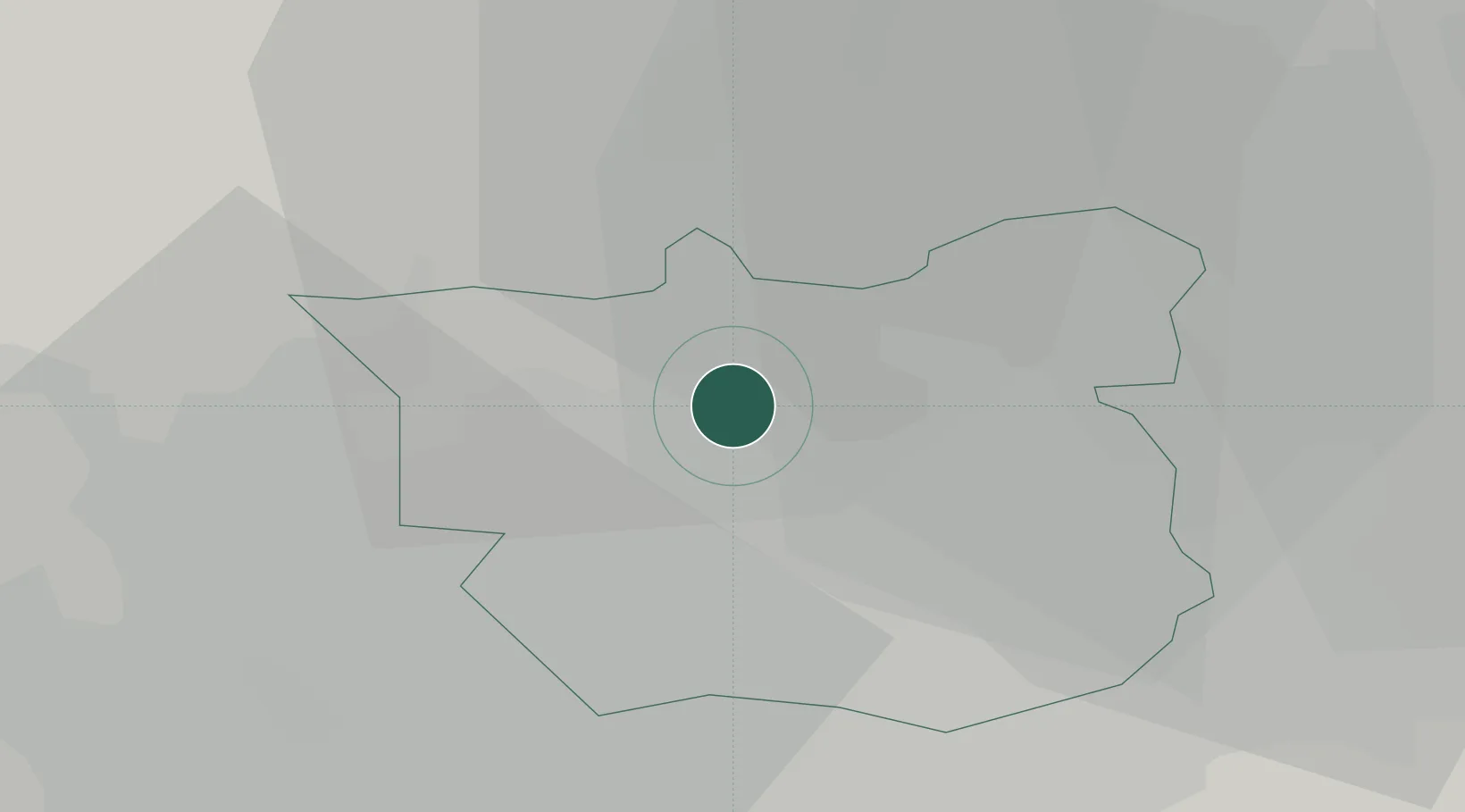
Location
Nearby Logistics Neighbours
Cities
- 1Denaby7 km
- 2Hunslet/Leeds8 km
- 3Horsforth8 km
- 4Leeds8 km
- 5Stourton/Leeds9 km
Ports
- 1Howdendyke44 km
- 2Goole48 km
- 3Manchester64 km
- 4New Holland77 km
- 5Kingston Upon Hull82 km
Airports
- 1Leeds Bradford Airport10 km
- 2Leeds East Airport21 km
- 3RAF Topcliffe40 km
- 4RAF Leeming50 km
- 5Teesside International Airport74 km
DatabookThe Record of Consolidated Knowledge
United Kingdom beyond logistics?