Transport Functions
Port
Hub Profile
Region
AGB
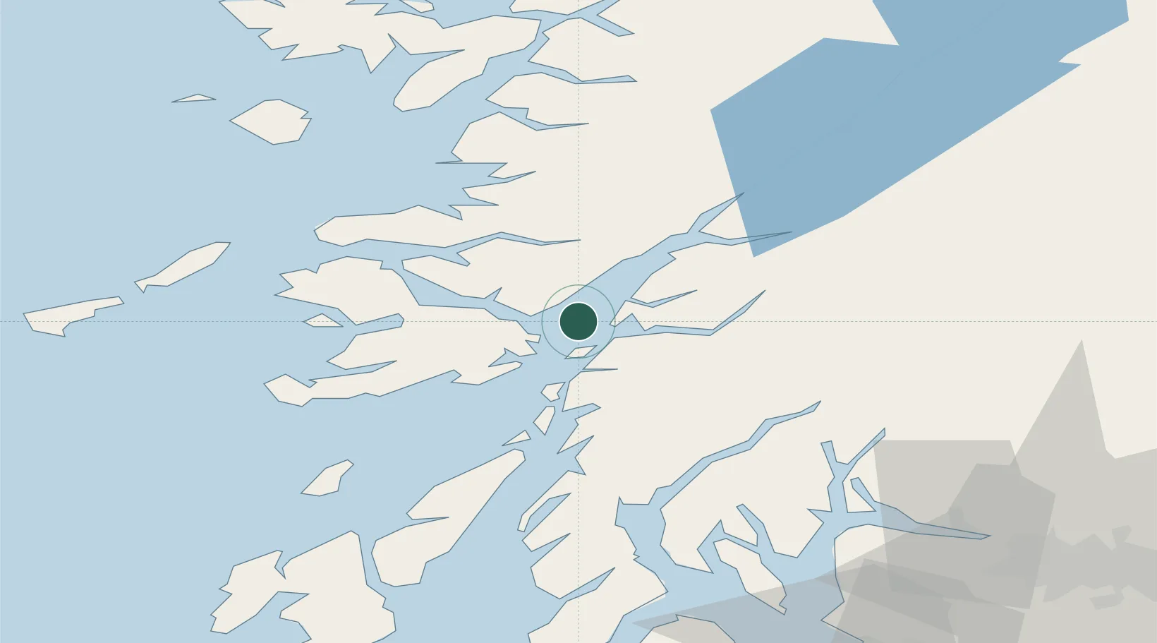
Location
Nearby Logistics Neighbours
Cities
- 1Achnacroish5 km
- 2Oban9 km
- 3Glensanda9 km
- 4Point, Island of Lismore10 km
- 5Craignure10 km
Airports
- 1Oban Airport10 km
- 2Colonsay Airstrip64 km
- 3Coll Airport67 km
- 4Tiree Airport81 km
- 5Glasgow Airport97 km
Trade Zones
DatabookThe Record of Consolidated Knowledge
United Kingdom beyond logistics?