UN/LOCODE hub · United Kingdom
GBGSA

Glensanda

56.5667°, -5.5500°
1
Transport functions

Transport Functions

Port
Glensanda is also a profiled seaport →
UN/LOCODE

Hub Profile

Region
HLD
GeoNames

Location

Location of GBGSA
Natural Earth 10m (public domain) · HLD · GBGSA · 56.57, -5.55GoogleOSMYandex

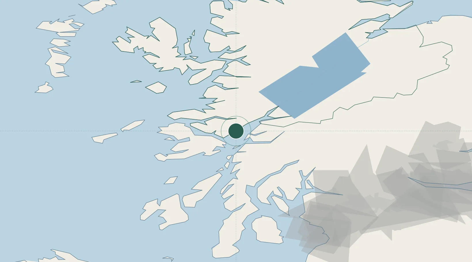
Nearby Logistics Neighbours

Cities
  1. 1Point, Island of Lismore7 km
  2. 2Achnacroish9 km
  3. 3Lismore Island9 km
  4. 4Port Appin9 km
  5. 5Appin12 km
Nearest neighbours — logibook spatial index (haversine) over the source coordinates
Ports
  1. 1Lochaline13 km
  2. 2Craignure14 km
  3. 3Oban17 km
  4. 4Tobermory32 km
  5. 5Fort William38 km
Nearest neighbours — logibook spatial index (haversine) over the source coordinates
Airports
  1. 1Oban Airport15 km
  2. 2Coll Airport66 km
  3. 3Colonsay Airstrip71 km
  4. 4Tiree Airport81 km
  5. 5Glasgow Airport104 km
Nearest neighbours — logibook spatial index (haversine) over the source coordinates
Trade Zones
  1. 1Prestwick Airport Free Zone131 km
  2. 2Carlisle Kingmoor Park Enterprise Zone243 km
  3. 3Isle of Man Free Zone and Business Park281 km
  4. 4North Eastern Enterprise Zone303 km
  5. 5Blackpool Enterprise Zone349 km
Nearest neighbours — logibook spatial index (haversine) over the source coordinates
DatabookThe Record of Consolidated Knowledge
United Kingdom beyond logistics?
Browse databook

All Sources

LocationsUN/LOCODE
UN/LOCODE — free
Portsthe NGA World Port Index
Public domain (US gov)
AirportsOurAirports
Public domain
Trade Zonesthe World Bank SEZ database
CC BY 4.0
Trade ZonesOpen Zone Map
CC BY
← United Kingdom locations