Transport Functions
Port
Road
Hub Profile
Region
AGB
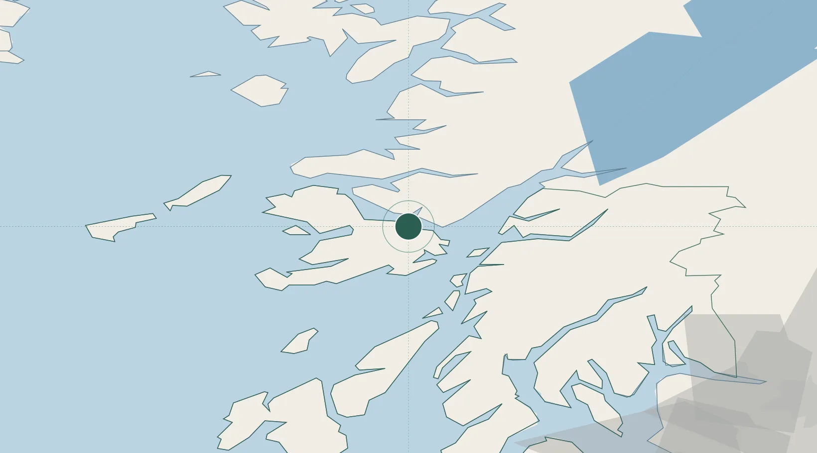
Location
Nearby Logistics Neighbours
Cities
- 1Lochaline4 km
- 2Craignure6 km
- 3Lismore Island16 km
- 4Glensanda17 km
- 5Achnacroish19 km
Airports
- 1Oban Airport25 km
- 2Coll Airport51 km
- 3Colonsay Airstrip56 km
- 4Tiree Airport66 km
- 5Islay Airport95 km
Trade Zones
DatabookThe Record of Consolidated Knowledge
United Kingdom beyond logistics?