Transport Functions
Rail
Road
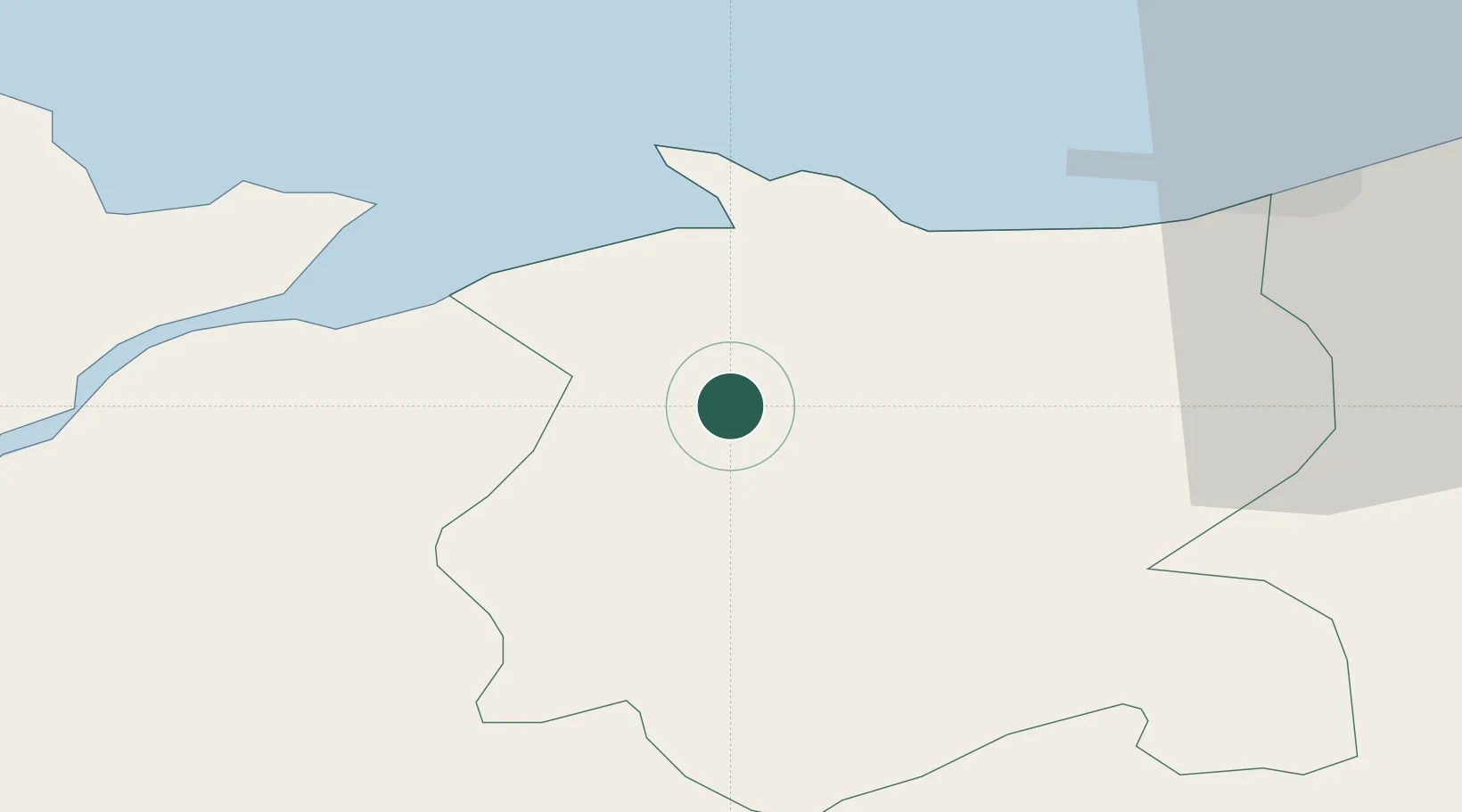
Hub Profile
Place type
Populated place
Region
Wales
Population
446
Time zone
Europe/London
Elevation
13 m
Location
Nearby Logistics Neighbours
Cities
- 1Talbot Green4 km
- 2Conwy (Conway)11 km
- 3Rhôs-on-Sea14 km
- 4Colwyn Bay (Bae Colwyn)15 km
- 5Llanddulas17 km
Ports
- 1Caernarvon29 km
- 2Mostyn41 km
- 3Liverpool Bay Terminal43 km
- 4Holyhead55 km
- 5Liverpool61 km
Airports
- 1Anglesey Airport47 km
- 2Hawarden Airport57 km
- 3Liverpool John Lennon Airport68 km
- 4Blackpool Airport84 km
- 5Warton Aerodrome89 km
Trade Zones
DatabookThe Record of Consolidated Knowledge
United Kingdom beyond logistics?