Transport Functions
Rail
Road
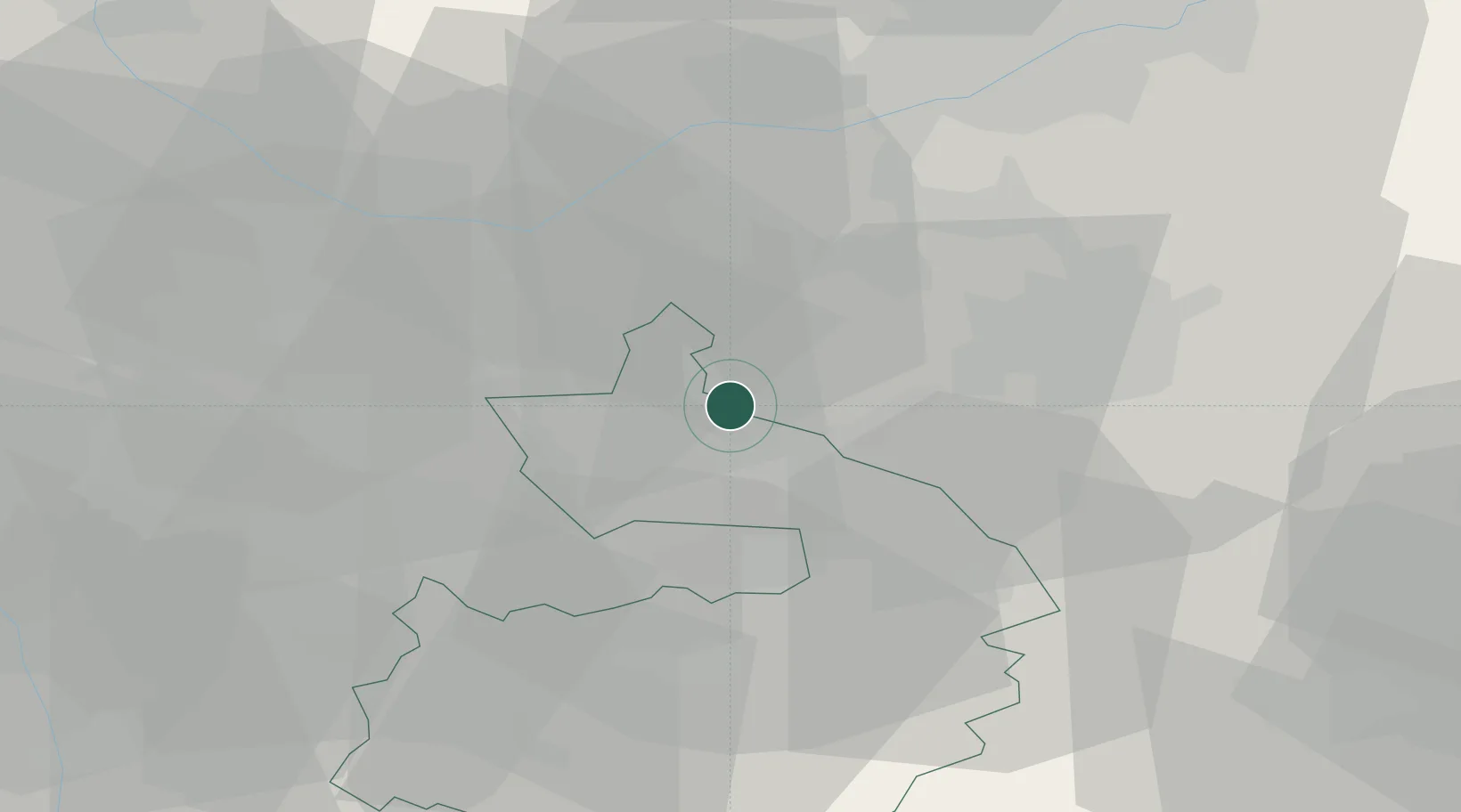
Hub Profile
Place type
Populated place
Region
England
Time zone
Europe/London
Elevation
82 m
Location
Nearby Logistics Neighbours
Cities
- 1Kingsbury11 km
- 2Barnacle13 km
- 3Bagworth16 km
- 4Llantarnam16 km
- 5Normanton le Heath16 km
Ports
- 1Boston110 km
- 2Wisbech113 km
- 3Manchester114 km
- 4Sharpness115 km
- 5Garlston127 km
Airports
- 1Birmingham Airport20 km
- 2Coventry Airport22 km
- 3East Midlands Airport32 km
- 4Nottingham City Airport49 km
- 5RAF Cosford54 km
Trade Zones
DatabookThe Record of Consolidated Knowledge
United Kingdom beyond logistics?